6 Litherland Park, Liverpool, L21 9HP
About 6 Litherland Park
6 Litherland Park is a five-bedroom detached house in Liverpool (L21 9HP). It has a recorded floor area of 221 m² (around 2379 sq ft) and construction records dating it to before 1900. The latest certificate (November 2021) shows a D (score 68), on the cusp of jumping into the C band. The recommended improvements would push it to C (score 77).
At 221 m² the property is well over the postcode median (140 m² across 40 EPCs), placing it in the larger end of the local stock. 5 bedrooms is on the larger side for this postcode, where 3 is the typical count. Across 2001–2021, sale prices on this property compounded at 5.5% per year. Today's modelled estimate of £580,000 is 18.4% above the 2021 sale price. On a £-per-square-foot basis, the last sale (£206/sq ft) was about 67.4% above the typical sold price in the postcode. Most recent transfer: December 2021 at £490,000. That sale was during the post-pandemic price surge, when transactions cleared materially above pre-2020 trend.
What this property has
Inside
- Bedrooms5
- Bathrooms2
Everything you need to know about 6 Litherland Park
The true value, the hidden risks and the full sale history, in one report.
30-day money-back guarantee

The data behind every report


Energy performance
6 Litherland Park's carbon output runs well above what efficient homes in the postcode produce.
EPC Rating
Planning history
6 Litherland Park has no planning applications on record.
Notable planning nearby
1applications of note in the surrounding area
Sales history & valuation
Latest sale on 6 Litherland Park was the highest on Land Registry record across the postcode.
£580,000
Modelled from EPC, postcode comparables and a sale-price growth of 5.5% per year over 20 years.
£490,000
Growth on file: 5.5% per year over 20 years.
Sales timeline
10 December 2021Most recent
£490,000
+193.4%over 19 years21 December 2001
£167,000
Median price across the last 5 sales in L21 9HP: £235,000 (2025–2019).
Nearby sales in L21 9HP
Versus other Litherland Park homes
Years Held for 6 Litherland Park lags the street by a wide margin.
Price per m²
£2,217
Street avg £1,593
Floor Area
221 m²
Street avg 170 m²
Habitable Rooms
8 rooms
Street avg 7 rooms
CO₂ Emissions
6.8 t/year
Street avg 9.8 t/year
Everything you need to know about 6 Litherland Park
The true value, the hidden risks and the full sale history, in one report.
30-day money-back guarantee
The data behind every report
Similar properties nearby
The neighbourhood at a glance
Rail-style transport is unusually close for this postcode.
Crime
4/mo
Rising year-on-year across the wider district.
Nearest stop
0.2 km
Hatton Hill Park — bus stop.
Closest school
0.4 km
English Martyrs' Catholic Primary School. 37 schools nearby.
Go deeper on the local area
The full report breaks down crime, transport links, schools and air quality in depth.
Road noise across the postcode
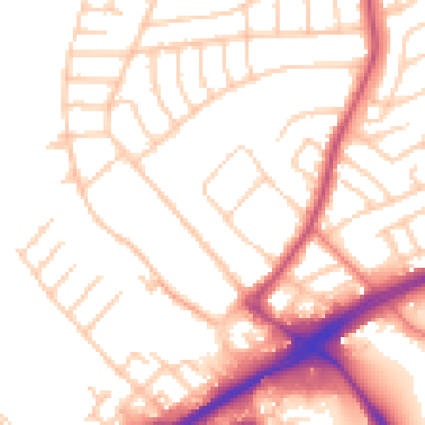
Daytime· 07:00 – 23:00
52.2dB

Night-time· 23:00 – 07:00
42.3dB