33 Osborne Road, Litherland, Liverpool, L21 9HN
About 33 Osborne Road
33 Osborne Road is a three-bedroom end-of-terrace house in Litherland, Liverpool, Liverpool (L21 9HN). It has a recorded floor area of 85 m² (around 915 sq ft), construction records dating it to 1930-1949 and council tax band A. The latest certificate (October 2016) shows a D (score 61), on the cusp of jumping into the C band. The recommended improvements would lift it to B (score 85), a 2-band jump.
Across 2007–2019, sale prices on this property compounded at 0.8% per year. Today's modelled estimate of £170,000 is 44.1% above the 2019 sale price. On a £-per-square-foot basis, the last sale (£129/sq ft) was about 23.9% above the typical sold price in the postcode. Last sale on file: £118,000 in November 2019.
What this property has
Inside
- Bedrooms3
- Bathrooms1
- Open-plan layoutYes
- Dining roomYes
Outside
- Private gardenFront and rear
Building
- Heating systemGas
Everything you need to know about 33 Osborne Road
The true value, the hidden risks and the full sale history, in one report.
30-day money-back guarantee

The data behind every report


Energy performance
Recommended upgrades on file would lift this property by multiple EPC bands.
EPC Rating
Planning history
33 Osborne Road has no planning applications on record.
Notable planning nearby
1applications of note in the surrounding area
Sales history & valuation
33 Osborne Road's sale-price growth has lagged the wider UK trajectory across its history on file.
£170,000
Modelled from EPC, postcode comparables and a sale-price growth of 0.8% per year over 12 years.
£118,000
Growth on file: 0.8% per year over 12 years.
Sales timeline
4 November 2019Most recent
£118,000
+9.8%over 12 years26 July 2007
£107,500
Median price across the last 5 sales in L21 9HN: £125,000 (2025–2021).
Nearby sales in L21 9HN
23 Osborne Road, Litherland, Liverpool, L21 9HN
Sold Mar 2025
£111,00061 Osborne Road, Litherland, Liverpool, L21 9HN
Sold Jan 2024
£130,00039 Osborne Road, Litherland, Liverpool, L21 9HN
Sold Oct 2022
£153,00027 Osborne Road, Litherland, Liverpool, L21 9HN
Sold Dec 2021
£125,00063 Osborne Road, Litherland, Liverpool, L21 9HN
Sold Aug 2021
£73,000
Versus other Osborne Road homes
CO₂ Emissions for 33 Osborne Road lags the street by a wide margin.
Price per m²
£1,388
Street avg £1,261
Floor Area
85 m²
Street avg 82 m²
Habitable Rooms
5 rooms
Street avg 5 rooms
CO₂ Emissions
4.1 t/year
Street avg 3.2 t/year
Everything you need to know about 33 Osborne Road
The true value, the hidden risks and the full sale history, in one report.
30-day money-back guarantee
The data behind every report
Similar properties nearby
1 Lowden Avenue
L21 9JE
1 Eltham Avenue
L21 9LL
1 Greenfield Lane
L21 9NP
1 Newlyn Avenue, Litherland
L21 9LD
1 Brindley Close
L21 9NR
1 Enstone Avenue
L21 9LH
1 Litherland Park
L21 9HP
1 Canal View Court, Field Lane, Litherland
L21 9QE
The neighbourhood at a glance
Reported crime in the wider district is trending notably upward year-on-year.
Crime
4/mo
Rising year-on-year across the wider district.
Nearest stop
0.2 km
Osborne Road — bus stop.
Closest school
0.6 km
English Martyrs' Catholic Primary School. 39 schools nearby.
Go deeper on the local area
The full report breaks down crime, transport links, schools and air quality in depth.
Road noise across the postcode
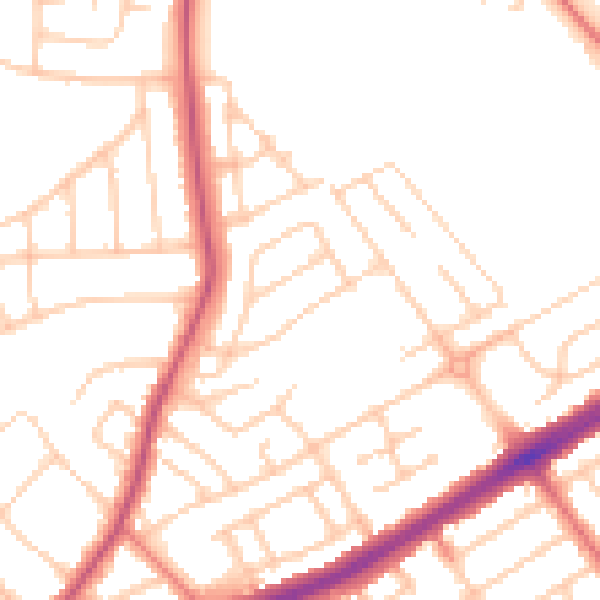
Daytime· 07:00 – 23:00
50.7dB

Night-time· 23:00 – 07:00
40.7dB