39 Osborne Road, Litherland, Liverpool, L21 9HN
About 39 Osborne Road
39 Osborne Road is a three-bedroom mid-terrace house in Litherland, Liverpool, Liverpool (L21 9HN). It has a recorded floor area of 82 m² (around 883 sq ft), construction records dating it to 1950-1966 and council tax band A. The latest certificate (February 2022) returns a B (score 81), comfortably above the UK average.
On energy efficiency it sits in the top 10% of properties in this postcode. Today's modelled estimate of £176,000 is 15% above the 2022 sale price. On a £-per-square-foot basis, the last sale (£173/sq ft) was about 63.8% above the typical sold price in the postcode. Most recent transfer: October 2022 at £153,000. That sale was during the post-pandemic price surge, when transactions cleared materially above pre-2020 trend.
What this property has
Inside
- Bedrooms3
- Bathrooms1
Everything you need to know about 39 Osborne Road
The true value, the hidden risks and the full sale history, in one report.
30-day money-back guarantee

The data behind every report


Energy performance
39 Osborne Road ranks among the most efficient homes in the postcode for energy use.
EPC Rating
Planning history
39 Osborne Road has no planning applications on record.
Notable planning nearby
1applications of note in the surrounding area
Sales history & valuation
Latest sale on 39 Osborne Road was the highest on Land Registry record across the postcode.
£176,000
Modelled from EPC, postcode comparables.
£153,000
Recorded with HM Land Registry.
Sales timeline
6 October 2022Most recent
£153,000
Median price across the last 5 sales in L21 9HN: £115,000 (2025–2021).
Nearby sales in L21 9HN
23 Osborne Road, Litherland, Liverpool, L21 9HN
Sold Mar 2025
£111,00061 Osborne Road, Litherland, Liverpool, L21 9HN
Sold Jan 2024
£130,00027 Osborne Road, Litherland, Liverpool, L21 9HN
Sold Dec 2021
£125,00063 Osborne Road, Litherland, Liverpool, L21 9HN
Sold Aug 2021
£73,00031 Osborne Road, Litherland, Liverpool, L21 9HN
Sold May 2021
£115,000
Versus other Osborne Road homes
39 Osborne Road outperforms the street on price per m² by a wide margin.
Price per m²
£1,866
Street avg £1,221
Floor Area
82 m²
Street avg 82 m²
Habitable Rooms
5 rooms
Street avg 5 rooms
CO₂ Emissions
2.0 t/year
Street avg 3.2 t/year
Everything you need to know about 39 Osborne Road
The true value, the hidden risks and the full sale history, in one report.
30-day money-back guarantee
The data behind every report
Similar properties nearby
1 Eltham Avenue
L21 9LL
1 Lowden Avenue
L21 9JE
1 Greenfield Lane
L21 9NP
1 Newlyn Avenue, Litherland
L21 9LD
1 Brindley Close
L21 9NR
1 Enstone Avenue
L21 9LH
1 Litherland Park
L21 9HP
1 Canal View Court, Field Lane, Litherland
L21 9QE
The neighbourhood at a glance
Reported crime in the wider district is trending notably upward year-on-year.
Crime
4/mo
Rising year-on-year across the wider district.
Nearest stop
0.2 km
Osborne Road — bus stop.
Closest school
0.6 km
English Martyrs' Catholic Primary School. 39 schools nearby.
Go deeper on the local area
The full report breaks down crime, transport links, schools and air quality in depth.
Road noise across the postcode
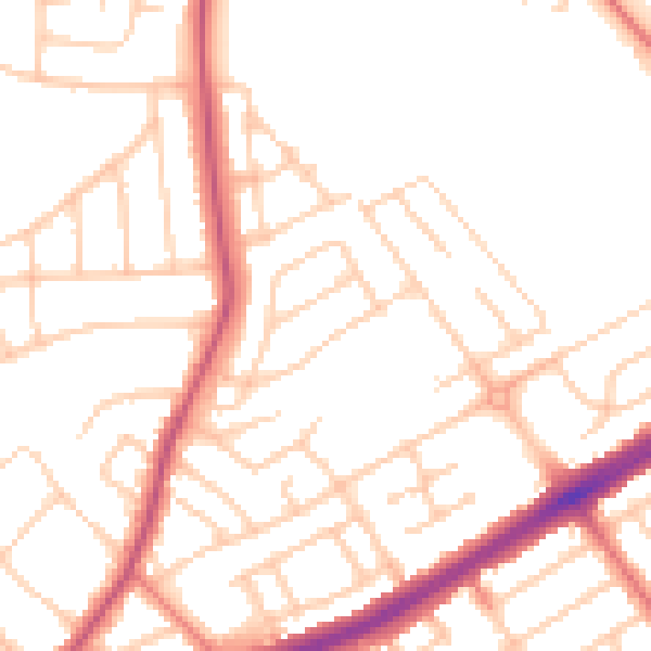
Daytime· 07:00 – 23:00
50.7dB

Night-time· 23:00 – 07:00
40.7dB