9 St Philips Avenue, Liverpool, L21 8PA
About 9 St Philips Avenue
9 St Philips Avenue is a three-bedroom semi-detached house in Liverpool (L21 8PA). It has a recorded floor area of 99 m² (around 1066 sq ft), construction records dating it to 1950-1966 and council tax band C. The latest certificate (April 2022) shows a D (score 62), on the cusp of jumping into the C band. The recommended improvements would lift it to B (score 82), a 2-band jump.
Today's modelled estimate of £258,000 is 14.7% above the 2022 sale price. On a £-per-square-foot basis, the last sale (£211/sq ft) was about 83.7% above the typical sold price in the postcode. Sold August 2022 for £225,000. That sale was during the post-pandemic price surge, when transactions cleared materially above pre-2020 trend.
What this property has
Inside
- Bedrooms3
- Bathrooms1
- Dining roomYes
- CloakroomYes
Outside
- Private gardenFront and rear
- GarageDetached
Building
- Heating systemGas
Everything you need to know about 9 St Philips Avenue
The true value, the hidden risks and the full sale history, in one report.
30-day money-back guarantee

The data behind every report


Energy performance
Recommended upgrades on file would lift this property by multiple EPC bands.
EPC Rating
Planning history
9 St Philips Avenue has no planning applications on record.
The full report still covers planning activity across the surrounding area.
Sales history & valuation
The latest sale landed in the post-pandemic price surge — useful context when reading the figure.
£258,000
Modelled from EPC, postcode comparables.
£225,000
Recorded with HM Land Registry.
Sales timeline
4 August 2022Most recent
£225,000
Median price across the last 5 sales in L21 8PA: £140,000 (2025–2010).
Nearby sales in L21 8PA
37 St Philips Avenue, Liverpool, L21 8PA
Sold Oct 2025
£290,00029 St Philips Avenue, Liverpool, L21 8PA
Sold Nov 2022
£223,0003 St Philips Avenue, Liverpool, L21 8PA
Sold Mar 2016
£140,00027 St Philips Avenue, Liverpool, L21 8PA
Sold Apr 2013
£120,00033 St Philips Avenue, Liverpool, L21 8PA
Sold Aug 2010
£130,000
Versus other St Philips Avenue homes
On price per m², 9 St Philips Avenue stands well clear of the street.
Price per m²
£2,273
Street avg £1,372
Floor Area
99 m²
Street avg 112 m²
Habitable Rooms
5 rooms
Street avg 5 rooms
CO₂ Emissions
4.6 t/year
Street avg 5.4 t/year
Everything you need to know about 9 St Philips Avenue
The true value, the hidden risks and the full sale history, in one report.
30-day money-back guarantee
The data behind every report
Similar properties nearby
The neighbourhood at a glance
Reported crime in the wider district is trending notably upward year-on-year.
Crime
4/mo
Rising year-on-year across the wider district.
Nearest stop
0.1 km
St Philips Avenue — bus stop.
Closest school
0.1 km
St Philip's Church of England Controlled Primary School. 43 schools nearby.
Go deeper on the local area
The full report breaks down crime, transport links, schools and air quality in depth.
Road noise across the postcode
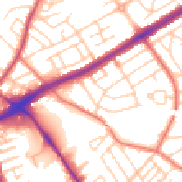
Daytime· 07:00 – 23:00
54.6dB

Night-time· 23:00 – 07:00
44.2dB