27 St Philips Avenue, Liverpool, L21 8PA
About 27 St Philips Avenue
27 St Philips Avenue is a semi-detached house in Liverpool (L21 8PA). It has a recorded floor area of 97 m² (around 1044 sq ft), construction records dating it to 1930-1949 and council tax band C. The latest certificate (October 2013) shows a D (score 60), on the cusp of jumping into the C band. The rating has held steady at D across 2 certificates since October 2012. Between certificates, window efficiency dropped from Good to Average and lighting dropped from Good to Average. The recommended improvements would lift it to B (score 83), a 2-band jump. The latest certificate is from October 2013, so improvements made since then won't be reflected.
Today's modelled estimate of £203,000 sits 69.2% above the 2013 sale of £120,000. 13 years since the last transfer (April 2013).
Everything you need to know about 27 St Philips Avenue
The true value, the hidden risks and the full sale history, in one report.
30-day money-back guarantee

The data behind every report


Energy performance
Recommended upgrades on file would lift this property by multiple EPC bands.
EPC Expired
This certificate is over 10 years old and is no longer valid.Expired 03 Oct 2023
EPC Rating
Property Improvements
Changes detected from historical EPC data
Loft insulation upgraded to recommended levels
Floor insulation added or improved
Planning history
27 St Philips Avenue has no planning applications on record.
The full report still covers planning activity across the surrounding area.
Sales history & valuation
27 St Philips Avenue valuation sits well clear of the typical sold price in this postcode.
£203,000
Modelled from EPC, postcode comparables.
£120,000
Recorded with HM Land Registry.
Sales timeline
18 April 2013Most recent
£120,000
Median price across the last 5 sales in L21 8PA: £223,000 (2025–2010).
Nearby sales in L21 8PA
37 St Philips Avenue, Liverpool, L21 8PA
Sold Oct 2025
£290,00029 St Philips Avenue, Liverpool, L21 8PA
Sold Nov 2022
£223,0009 St Philips Avenue, Liverpool, L21 8PA
Sold Aug 2022
£225,0003 St Philips Avenue, Liverpool, L21 8PA
Sold Mar 2016
£140,00033 St Philips Avenue, Liverpool, L21 8PA
Sold Aug 2010
£130,000
Versus other St Philips Avenue homes
CO₂ Emissions for 27 St Philips Avenue runs comfortably ahead of the street norm.
Price per m²
£1,237
Street avg £1,520
Floor Area
97 m²
Street avg 112 m²
Habitable Rooms
5 rooms
Street avg 5 rooms
CO₂ Emissions
4.5 t/year
Street avg 5.4 t/year
Everything you need to know about 27 St Philips Avenue
The true value, the hidden risks and the full sale history, in one report.
30-day money-back guarantee
The data behind every report
Similar properties nearby
The neighbourhood at a glance
Reported crime in the wider district is trending notably upward year-on-year.
Crime
4/mo
Rising year-on-year across the wider district.
Nearest stop
0.1 km
St Philips Avenue — bus stop.
Closest school
0.1 km
St Philip's Church of England Controlled Primary School. 43 schools nearby.
Go deeper on the local area
The full report breaks down crime, transport links, schools and air quality in depth.
Road noise across the postcode
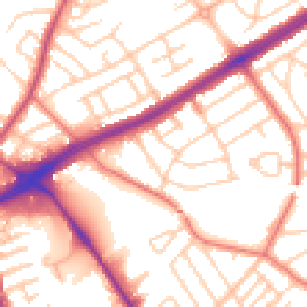
Daytime· 07:00 – 23:00
54.6dB

Night-time· 23:00 – 07:00
44.2dB