24 Opal Close, Litherland, Liverpool, L21 7RE
About 24 Opal Close
24 Opal Close is a three-bedroom property in Litherland, Liverpool, Liverpool (L21 7RE). It has council tax band C.
Held since October 2010 — that's 16 years off the open market, well above the local norm. Across 2003–2010, sale prices on this property compounded at 3.4% per year.
What this property has
Inside
- Bedrooms3
- Dining roomYes
- EnsuiteYes
Outside
- Private gardenYes
- DrivewayYes
Building
- Heating systemGas
Everything you need to know about 24 Opal Close
The true value, the hidden risks and the full sale history, in one report.
30-day money-back guarantee

The data behind every report


Energy performance
No EPC on record
This property doesn't have an Energy Performance Certificate yet. An EPC is required to sell or let — and unlocks our automated valuation.
Planning history
24 Opal Close has no planning applications on record.
The full report still covers planning activity across the surrounding area.
Sales history & valuation
24 Opal Close saw 3 transfers in just over a decade — high turnover for the postcode.
£123,000
Growth on file: 3.4% per year over 8 years.
Sales timeline
7 October 2010Most recent
£123,000
+2.5%over 5 years18 September 2005
£120,000
+25.2%over 2 years21 March 2003
£95,850
Median price across the last 5 sales in L21 7RE: £127,000 (2024–2022).
Nearby sales in L21 7RE
7 Opal Close, Litherland, Liverpool, L21 7RE
Sold Jan 2024
£140,00019 Opal Close, Litherland, Liverpool, L21 7RE
Sold Oct 2022
£160,00014 Opal Close, Litherland, Liverpool, L21 7RE
Sold Oct 2022
£90,00011 Opal Close, Litherland, Liverpool, L21 7RE
Sold May 2022
£127,00026 Opal Close, Litherland, Liverpool, L21 7RE
Sold Apr 2022
£73,500
Everything you need to know about 24 Opal Close
The true value, the hidden risks and the full sale history, in one report.
30-day money-back guarantee
The data behind every report
Similar properties nearby
1 Kent Avenue, Litherland
L21 7QJ
1 Amos Avenue
L21 7QH
1 Gale Road, Litherland
L21 7QR
1 Ruby Close, Litherland
L21 7RH
1 Amethyst Close, Litherland
L21 7RD
1 Boundary Road, Litherland
L21 7LA
1 Oxford Avenue
L21 7LT
1 Opal Close, Litherland
L21 7RE
The neighbourhood at a glance
Reported crime in the wider district is trending notably upward year-on-year.
Crime
4/mo
Rising year-on-year across the wider district.
Nearest stop
0.1 km
Springfield Avenue — bus stop.
Closest school
0.3 km
St Philip's Church of England Controlled Primary School. 40 schools nearby.
Go deeper on the local area
The full report breaks down crime, transport links, schools and air quality in depth.
Road noise across the postcode
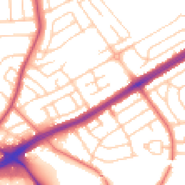
Daytime· 07:00 – 23:00
53.5dB

Night-time· 23:00 – 07:00
42.9dB