2 Opal Close, Litherland, Liverpool, L21 7RE
About 2 Opal Close
2 Opal Close is a three-bedroom end-of-terrace house in Litherland, Liverpool, Liverpool (L21 7RE). It has a recorded floor area of 70 m² (around 753 sq ft), construction records dating it to 1996-2002 and council tax band C. The latest certificate (March 2021) shows a C (score 70). The recommended improvements would push it to B (score 87).
Across 2002–2021, sale prices on this property compounded at 4.7% per year. Today's modelled estimate of £202,000 is 22.4% above the 2021 sale price. On a £-per-square-foot basis, the last sale (£219/sq ft) was about 67% above the typical sold price in the postcode. Sold August 2021 for £165,000. That sale was during the post-pandemic price surge, when transactions cleared materially above pre-2020 trend.
What this property has
Inside
- Bedrooms3
- Bathrooms1
Outside
- Private gardenFront and rear
- GarageYes
Building
- Central heatingYes
Everything you need to know about 2 Opal Close
The true value, the hidden risks and the full sale history, in one report.
30-day money-back guarantee

The data behind every report


Energy performance
EPC Rating
Planning history
2 Opal Close has no planning applications on record.
The full report still covers planning activity across the surrounding area.
Sales history & valuation
Latest sale on 2 Opal Close was the highest on Land Registry record across the postcode.
£202,000
Modelled from EPC, postcode comparables and a sale-price growth of 4.7% per year over 19 years.
£165,000
Growth on file: 4.7% per year over 19 years.
Sales timeline
19 August 2021Most recent
£165,000
+27.0%over 2 years7 March 2019
£129,950
+87.0%over 16 years29 August 2002
£69,500
Median price across the last 5 sales in L21 7RE: £127,000 (2024–2022).
Nearby sales in L21 7RE
7 Opal Close, Litherland, Liverpool, L21 7RE
Sold Jan 2024
£140,00019 Opal Close, Litherland, Liverpool, L21 7RE
Sold Oct 2022
£160,00014 Opal Close, Litherland, Liverpool, L21 7RE
Sold Oct 2022
£90,00011 Opal Close, Litherland, Liverpool, L21 7RE
Sold May 2022
£127,00026 Opal Close, Litherland, Liverpool, L21 7RE
Sold Apr 2022
£73,500
Versus other Opal Close homes
2 Opal Close outperforms the street on price per m² by a wide margin.
Price per m²
£2,357
Street avg £1,564
Floor Area
70 m²
Street avg 80 m²
Habitable Rooms
5 rooms
Street avg 4 rooms
CO₂ Emissions
2.6 t/year
Street avg 3.2 t/year
Everything you need to know about 2 Opal Close
The true value, the hidden risks and the full sale history, in one report.
30-day money-back guarantee
The data behind every report
Similar properties nearby
1 Boundary Road, Litherland
L21 7LA
1 Amethyst Close, Litherland
L21 7RD
1 Ruby Close, Litherland
L21 7RH
1 Gale Road, Litherland
L21 7QR
1 Amos Avenue
L21 7QH
1 Kent Avenue, Litherland
L21 7QJ
1 Oxford Avenue
L21 7LT
1 Opal Close, Litherland
L21 7RE
The neighbourhood at a glance
Reported crime in the wider district is trending notably upward year-on-year.
Crime
4/mo
Rising year-on-year across the wider district.
Nearest stop
0.1 km
Springfield Avenue — bus stop.
Closest school
0.3 km
St Philip's Church of England Controlled Primary School. 40 schools nearby.
Go deeper on the local area
The full report breaks down crime, transport links, schools and air quality in depth.
Road noise across the postcode
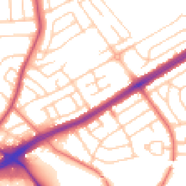
Daytime· 07:00 – 23:00
53.5dB

Night-time· 23:00 – 07:00
42.9dB