10 Opal Close, Litherland, Liverpool, L21 7RE
About 10 Opal Close
10 Opal Close is a detached house in Litherland, Liverpool, Liverpool (L21 7RE). It has a recorded floor area of 76 m² (around 818 sq ft), construction records dating it to 1996-2002 and council tax band C. The latest certificate (July 2011) shows a D (score 66), on the cusp of jumping into the C band. The recommended improvements would push it to C (score 74). The latest certificate is from July 2011, so improvements made since then won't be reflected.
Across 2003–2012, sale prices on this property compounded at 1.5% per year. Today's modelled estimate of £198,000 sits 52.3% above the 2012 sale of £130,000. On a £-per-square-foot basis, the last sale (£159/sq ft) was about 21.8% above the typical sold price in the postcode. 14 years since the last transfer (May 2012).
Everything you need to know about 10 Opal Close
The true value, the hidden risks and the full sale history, in one report.
30-day money-back guarantee

The data behind every report


Energy performance
10 Opal Close's EPC is over a decade old — improvements since won't be reflected.
EPC Expired
This certificate is over 10 years old and is no longer valid.Expired 11 Jul 2021
EPC Rating
Planning history
10 Opal Close has no planning applications on record.
The full report still covers planning activity across the surrounding area.
Sales history & valuation
10 Opal Close valuation sits well clear of the typical sold price in this postcode.
£198,000
Modelled from EPC, postcode comparables and a sale-price growth of 1.5% per year over 9 years.
£130,000
Growth on file: 1.5% per year over 9 years.
Sales timeline
3 May 2012Most recent
£130,000
+15.0%over 9 years2 January 2003
£113,000
Median price across the last 5 sales in L21 7RE: £127,000 (2024–2022).
Nearby sales in L21 7RE
7 Opal Close, Litherland, Liverpool, L21 7RE
Sold Jan 2024
£140,00019 Opal Close, Litherland, Liverpool, L21 7RE
Sold Oct 2022
£160,00014 Opal Close, Litherland, Liverpool, L21 7RE
Sold Oct 2022
£90,00011 Opal Close, Litherland, Liverpool, L21 7RE
Sold May 2022
£127,00026 Opal Close, Litherland, Liverpool, L21 7RE
Sold Apr 2022
£73,500
Versus other Opal Close homes
10 Opal Close outperforms the street on years held by a wide margin.
Price per m²
£1,711
Street avg £1,602
Floor Area
76 m²
Street avg 80 m²
Habitable Rooms
5 rooms
Street avg 4 rooms
CO₂ Emissions
3.1 t/year
Street avg 3.1 t/year
Everything you need to know about 10 Opal Close
The true value, the hidden risks and the full sale history, in one report.
30-day money-back guarantee
The data behind every report
Similar properties nearby
1 Alexandra Villas, Alexandra Mount
L21 7PN
1 Boundary Road, Litherland
L21 7LA
1 Amethyst Close, Litherland
L21 7RD
1 Ruby Close, Litherland
L21 7RH
1 Gale Road, Litherland
L21 7QR
1 Oxford Avenue
L21 7LT
1 Alexandra Mount
L21 7PN
1 Amos Avenue
L21 7QH
The neighbourhood at a glance
Reported crime in the wider district is trending notably upward year-on-year.
Crime
4/mo
Rising year-on-year across the wider district.
Nearest stop
0.1 km
Springfield Avenue — bus stop.
Closest school
0.3 km
St Philip's Church of England Controlled Primary School. 40 schools nearby.
Go deeper on the local area
The full report breaks down crime, transport links, schools and air quality in depth.
Road noise across the postcode
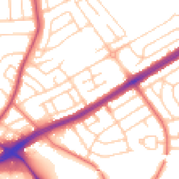
Daytime· 07:00 – 23:00
53.5dB

Night-time· 23:00 – 07:00
42.9dB