4 Amethyst Close, Litherland, Liverpool, L21 7RD
About 4 Amethyst Close
4 Amethyst Close is a semi-detached house in Litherland, Liverpool, Liverpool (L21 7RD). It has a recorded floor area of 66 m² (around 710 sq ft), construction records dating it to 1996-2002 and council tax band B. The latest certificate (April 2017) shows a D (score 68), on the cusp of jumping into the C band. The recommended improvements would lift it to B (score 86), a 2-band jump.
Across 2002–2021, sale prices on this property compounded at 2.3% per year. Today's modelled estimate of £165,000 is 32% above the 2021 sale price. On a £-per-square-foot basis, the last sale (£176/sq ft) was about 47.6% above the typical sold price in the postcode. Sold November 2021 for £125,000. That sale was during the post-pandemic price surge, when transactions cleared materially above pre-2020 trend.
Everything you need to know about 4 Amethyst Close
The true value, the hidden risks and the full sale history, in one report.
30-day money-back guarantee

The data behind every report


Energy performance
Recommended upgrades on file would lift this property by multiple EPC bands.
EPC Rating
Planning history
4 Amethyst Close has no planning applications on record.
The full report still covers planning activity across the surrounding area.
Sales history & valuation
The latest sale landed in the post-pandemic price surge — useful context when reading the figure.
£165,000
Modelled from EPC, postcode comparables and a sale-price growth of 2.3% per year over 19 years.
£125,000
Growth on file: 2.3% per year over 19 years.
Sales timeline
19 November 2021Most recent
£125,000
+54.8%over 19 years19 September 2002
£80,750
Median price across the last 5 sales in L21 7RD: £155,000 (2024–2020).
Nearby sales in L21 7RD
3 Amethyst Close, Litherland, Liverpool, L21 7RD
Sold Nov 2024
£155,50016 Amethyst Close, Litherland, Liverpool, L21 7RD
Sold Sept 2022
£125,0001 Amethyst Close, Litherland, Liverpool, L21 7RD
Sold Oct 2021
£155,00010 Amethyst Close, Litherland, Liverpool, L21 7RD
Sold Jul 2020
£125,5006 Amethyst Close, Litherland, Liverpool, L21 7RD
Sold Feb 2020
£125,000
Versus other Amethyst Close homes
On habitable rooms, 4 Amethyst Close runs well behind the street norm.
Price per m²
£1,894
Street avg £1,716
Floor Area
66 m²
Street avg 72 m²
Habitable Rooms
3 rooms
Street avg 4 rooms
CO₂ Emissions
2.6 t/year
Street avg 2.9 t/year
Everything you need to know about 4 Amethyst Close
The true value, the hidden risks and the full sale history, in one report.
30-day money-back guarantee
The data behind every report
Similar properties nearby
1 Amos Avenue
L21 7QH
1 Kent Avenue, Litherland
L21 7QJ
1 Sefton Street, Litherland
L21 7PB
1 Gale Road, Litherland
L21 7QR
1 Moss Lane, Litherland
L21 7RJ
1 Ruby Close, Litherland
L21 7RH
1 Amethyst Close, Litherland
L21 7RD
1 Bradley Road
L21 7QE
The neighbourhood at a glance
Reported crime in the wider district is trending notably upward year-on-year.
Crime
4/mo
Rising year-on-year across the wider district.
Nearest stop
0.1 km
Springfield Avenue — bus stop.
Closest school
0.4 km
St Philip's Church of England Controlled Primary School. 40 schools nearby.
Go deeper on the local area
The full report breaks down crime, transport links, schools and air quality in depth.
Road noise across the postcode
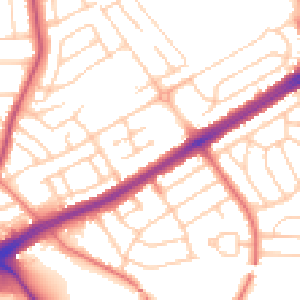
Daytime· 07:00 – 23:00
53.1dB

Night-time· 23:00 – 07:00
42.5dB