61 Kent Avenue, Litherland, Liverpool, L21 7QJ
About 61 Kent Avenue
61 Kent Avenue is a three-bedroom mid-terrace house in Litherland, Liverpool, Liverpool (L21 7QJ). It has a recorded floor area of 95 m² (around 1023 sq ft), construction records dating it to 1930-1949 and council tax band A. The latest certificate (July 2019) shows a D (score 59), a step below the typical UK home. The recommended improvements would lift it to B (score 84), a 2-band jump. Period features are noted in the property record.
At 95 m² it's 18.8% larger than the typical home in the postcode (80 m² median across 13 EPCs). Today's modelled estimate of £177,000 is 47.5% above the 2019 sale price. On a £-per-square-foot basis, the last sale (£117/sq ft) was about 18.3% above the typical sold price in the postcode. Sold October 2019 for £120,000.
What this property has
Inside
- Bedrooms3
- Bathrooms1
- FireplaceYes
Outside
- Private gardenYes
Building
- Period featuresYes
Everything you need to know about 61 Kent Avenue
The true value, the hidden risks and the full sale history, in one report.
30-day money-back guarantee

The data behind every report


Energy performance
Recommended upgrades on file would lift this property by multiple EPC bands.
EPC Rating
Planning history
61 Kent Avenue has no planning applications on record.
The full report still covers planning activity across the surrounding area.
Sales history & valuation
61 Kent Avenue valuation sits well clear of the typical sold price in this postcode.
£177,000
Modelled from EPC, postcode comparables.
£120,000
Recorded with HM Land Registry.
Sales timeline
31 October 2019Most recent
£120,000
Median price across the last 5 sales in L21 7QJ: £142,000 (2023–2017).
Nearby sales in L21 7QJ
37 Kent Avenue, Litherland, Liverpool, L21 7QJ
Sold Jul 2023
£175,00033 Kent Avenue, Litherland, Liverpool, L21 7QJ
Sold Mar 2022
£160,00017 Kent Avenue, Litherland, Liverpool, L21 7QJ
Sold Oct 2021
£142,00021 Kent Avenue, Litherland, Liverpool, L21 7QJ
Sold Sept 2021
£130,00043 Kent Avenue, Litherland, Liverpool, L21 7QJ
Sold Jul 2017
£124,000
Versus other Kent Avenue homes
61 Kent Avenue outperforms the street on habitable rooms by a wide margin.
Price per m²
£1,263
Street avg £1,473
Floor Area
95 m²
Street avg 83 m²
Habitable Rooms
6 rooms
Street avg 5 rooms
CO₂ Emissions
4.9 t/year
Street avg 4.2 t/year
Everything you need to know about 61 Kent Avenue
The true value, the hidden risks and the full sale history, in one report.
30-day money-back guarantee
The data behind every report
Similar properties nearby
1 Gale Road, Litherland
L21 7QR
1 Ruby Close, Litherland
L21 7RH
1 Amethyst Close, Litherland
L21 7RD
1 Amos Avenue
L21 7QH
1 Kent Avenue, Litherland
L21 7QJ
1 Boundary Road, Litherland
L21 7LA
1 Oxford Avenue
L21 7LT
1 Opal Close, Litherland
L21 7RE
The neighbourhood at a glance
Reported crime in the wider district is trending notably upward year-on-year.
Crime
4/mo
Rising year-on-year across the wider district.
Nearest stop
0.1 km
St Philips Avenue — bus stop.
Closest school
0.1 km
St Philip's Church of England Controlled Primary School. 41 schools nearby.
Go deeper on the local area
The full report breaks down crime, transport links, schools and air quality in depth.
Road noise across the postcode
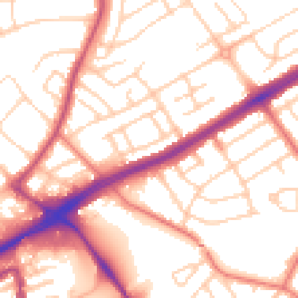
Daytime· 07:00 – 23:00
54.3dB

Night-time· 23:00 – 07:00
44.0dB