49 Bradley Road, Liverpool, L21 7QE
About 49 Bradley Road
49 Bradley Road is a three-bedroom end-of-terrace house in Liverpool (L21 7QE). It has a recorded floor area of 76 m² (around 818 sq ft), construction records dating it to 1900-1929 and council tax band A. Tenure is freehold. The latest certificate (April 2017) shows a C (score 71). The recommended improvements would push it to B (score 85).
Today's modelled estimate of £167,000 is 11.3% above the 2023 sale price. On a £-per-square-foot basis, the last sale (£183/sq ft) was about 87.5% above the typical sold price in the postcode. Last sale on file: £150,000 in November 2023.
What this property has
Inside
- Bedrooms3
- Bathrooms1
Outside
- Private gardenRear
Building
- TenureFreehold
- Central heatingYes
- RefurbishedYes
Everything you need to know about 49 Bradley Road
The true value, the hidden risks and the full sale history, in one report.
30-day money-back guarantee

The data behind every report


Energy performance
EPC Rating
Planning history
49 Bradley Road has no planning applications on record.
The full report still covers planning activity across the surrounding area.
Sales history & valuation
49 Bradley Road valuation sits well clear of the typical sold price in this postcode.
£167,000
Modelled from EPC, postcode comparables.
£150,000
Recorded with HM Land Registry.
Sales timeline
29 November 2023Most recent
£150,000
Median price across the last 5 sales in L21 7QE: £80,000 (2025–2006).
Nearby sales in L21 7QE
Versus other Bradley Road homes
49 Bradley Road outperforms the street on co₂ emissions by a wide margin.
EPC Rating
71 (C)
Street avg 67 (D)
Floor Area
76 m²
Street avg 80 m²
CO₂ Emissions
2.5 t/year
Street avg 3.1 t/year
Habitable Rooms
5 rooms
Street avg 5 rooms
Everything you need to know about 49 Bradley Road
The true value, the hidden risks and the full sale history, in one report.
30-day money-back guarantee
The data behind every report
Similar properties nearby
1 Amos Avenue
L21 7QH
1 Kent Avenue, Litherland
L21 7QJ
1 Gale Road, Litherland
L21 7QR
1 Ruby Close, Litherland
L21 7RH
1 Amethyst Close, Litherland
L21 7RD
1 Boundary Road, Litherland
L21 7LA
1 Oxford Avenue
L21 7LT
1 Opal Close, Litherland
L21 7RE
The neighbourhood at a glance
Reported crime in the wider district is trending notably upward year-on-year.
Crime
4/mo
Rising year-on-year across the wider district.
Nearest stop
0.2 km
Osborne Road — bus stop.
Closest school
0.3 km
English Martyrs' Catholic Primary School. 39 schools nearby.
Go deeper on the local area
The full report breaks down crime, transport links, schools and air quality in depth.
Road noise across the postcode
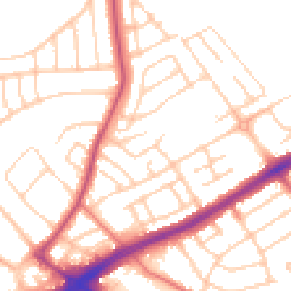
Daytime· 07:00 – 23:00
52.1dB

Night-time· 23:00 – 07:00
41.9dB