12 Anderson Road, Liverpool, L21 7ND
About 12 Anderson Road
12 Anderson Road is a three-bedroom semi-detached house in Liverpool (L21 7ND). It has a recorded floor area of 91 m² (around 980 sq ft), construction records dating it to 1930-1949 and council tax band A. The latest certificate (March 2022) shows a D (score 59), a step below the typical UK home. The rating has held steady at D across 2 certificates since September 2011. Between certificates, lighting went from Good to Very Good. The recommended improvements would push it to C (score 79).
Across 2015–2023, sale prices on this property compounded at 5.7% per year. Today's modelled estimate of £141,000 sits 52.4% above the 2023 sale of £92,500. Sold September 2023 for £92,500.
What this property has
Inside
- Bedrooms3
Everything you need to know about 12 Anderson Road
The true value, the hidden risks and the full sale history, in one report.
30-day money-back guarantee

The data behind every report


Energy performance
EPC Rating
Property Improvements
Changes detected from historical EPC data
Windows upgraded, improving insulation
More low energy lighting installed
Planning history
12 Anderson Road has no planning applications on record.
The full report still covers planning activity across the surrounding area.
Sales history & valuation
£141,000
Modelled from EPC, postcode comparables and a sale-price growth of 5.7% per year over 8 years.
£92,500
Growth on file: 5.7% per year over 8 years.
Sales timeline
24 September 2023Most recent
£92,500
+59.5%over 8 years15 April 2015
£58,000
Median price across the last 2 sales in L21 7ND: £90,000 (2022–2021).
Versus other Anderson Road homes
Floor Area for 12 Anderson Road runs comfortably ahead of the street norm.
EPC Rating
59 (D)
Street avg 65 (D)
Floor Area
91 m²
Street avg 85 m²
CO₂ Emissions
4.7 t/year
Street avg 3.5 t/year
Habitable Rooms
5 rooms
Street avg 5 rooms
Everything you need to know about 12 Anderson Road
The true value, the hidden risks and the full sale history, in one report.
30-day money-back guarantee
The data behind every report
Similar properties nearby
1 Kent Avenue, Litherland
L21 7QJ
1 Amos Avenue
L21 7QH
1 Gale Road, Litherland
L21 7QR
1 Ruby Close, Litherland
L21 7RH
1 Amethyst Close, Litherland
L21 7RD
1 Boundary Road, Litherland
L21 7LA
1 Oxford Avenue
L21 7LT
1 Opal Close, Litherland
L21 7RE
The neighbourhood at a glance
Reported crime in the wider district is trending notably upward year-on-year.
Crime
4/mo
Rising year-on-year across the wider district.
Nearest stop
0.1 km
Kirkstone Road North — bus stop.
Closest school
0.4 km
Litherland Moss Primary School. 39 schools nearby.
Go deeper on the local area
The full report breaks down crime, transport links, schools and air quality in depth.
Road noise across the postcode
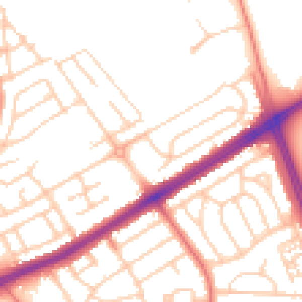
Daytime· 07:00 – 23:00
52.3dB

Night-time· 23:00 – 07:00
41.8dB