41 Rossini Street, Liverpool, L21 4NS
About 41 Rossini Street
41 Rossini Street is a mid-terrace house in Liverpool (L21 4NS). It has a recorded floor area of 73 m² (around 786 sq ft), construction records dating it to 1900-1929 and council tax band A. The latest certificate (October 2025) shows a C (score 71). When first surveyed in February 2011 the rating was E, the property has climbed 2 bands since. Between certificates, roof efficiency went from Good to Very Good, window efficiency went from Poor to Good and hot-water efficiency went from Poor to Good.
Today's modelled estimate of £134,000 sits 123% above the 2025 sale of £60,100. On a £-per-square-foot basis, the last sale (£76/sq ft) was about 44.5% above the typical sold price in the postcode. A recent sale: £60,100 in March 2025.
Everything you need to know about 41 Rossini Street
The true value, the hidden risks and the full sale history, in one report.
30-day money-back guarantee

The data behind every report


Energy performance
EPC Rating
Property Improvements
Changes detected from historical EPC data
Heating controls upgraded for better temperature management
Hot water system upgraded
Window efficiency improved
Loft insulation upgraded to recommended levels
More low energy lighting installed
Heating controls upgraded for better temperature management
High performance glazing installed
More low energy lighting installed
Planning history
41 Rossini Street has no planning applications on record.
The full report still covers planning activity across the surrounding area.
Sales history & valuation
41 Rossini Street valuation sits well clear of the typical sold price in this postcode.
£134,000
Modelled from EPC, postcode comparables.
£60,100
Recorded with HM Land Registry.
Sales timeline
27 March 2025Most recent
£60,100
Median price across the last 5 sales in L21 4NS: £55,000 (2023–2019).
Nearby sales in L21 4NS
Versus other Rossini Street homes
41 Rossini Street is notably below the street on years held.
Price per m²
£823
Street avg £615
Floor Area
73 m²
Street avg 80 m²
Habitable Rooms
5 rooms
Street avg 4 rooms
CO₂ Emissions
2.4 t/year
Street avg 3.6 t/year
Everything you need to know about 41 Rossini Street
The true value, the hidden risks and the full sale history, in one report.
30-day money-back guarantee
The data behind every report
Similar properties nearby
The neighbourhood at a glance
Rail-style transport is unusually close for this postcode.
Crime
4/mo
Rising year-on-year across the wider district.
Nearest stop
0.1 km
Caradoc Road — bus stop.
Closest school
0.3 km
Our Lady Star of the Sea Catholic Primary School. 28 schools nearby.
Go deeper on the local area
The full report breaks down crime, transport links, schools and air quality in depth.
Road noise across the postcode
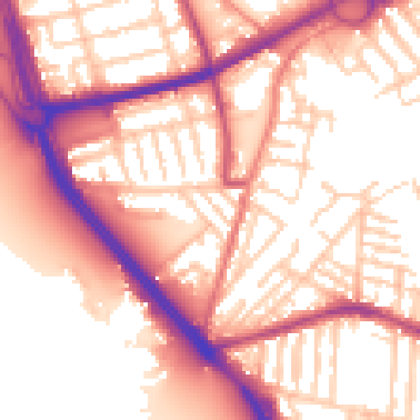
Daytime· 07:00 – 23:00
56.7dB

Night-time· 23:00 – 07:00
47.6dB