21 Rossini Street, Liverpool, L21 4NS
About 21 Rossini Street
21 Rossini Street is a mid-terrace house in Liverpool (L21 4NS). It has a recorded floor area of 75 m² (around 807 sq ft), construction records dating it to before 1900 and council tax band A. The latest certificate (November 2021) shows a D (score 68), on the cusp of jumping into the C band. The rating has held steady at D across 2 certificates since October 2018. Between certificates, wall efficiency went from Very Poor to Poor and window efficiency went from Very Poor to Good; while roof efficiency dropped from Good to Average. The recommended improvements would lift it to B (score 88), a 2-band jump.
Across 2000–2019, sale prices on this property compounded at 3.3% per year. Today's modelled estimate of £118,000 sits 187.8% above the 2019 sale of £41,000. Most recent transfer: April 2019 at £41,000.
Everything you need to know about 21 Rossini Street
The true value, the hidden risks and the full sale history, in one report.
30-day money-back guarantee

The data behind every report


Energy performance
Recommended upgrades on file would lift this property by multiple EPC bands.
EPC Rating
Property Improvements
Changes detected from historical EPC data
Single glazing replaced with double or better glazing
Wall insulation improved
Planning history
21 Rossini Street has no planning applications on record.
The full report still covers planning activity across the surrounding area.
Sales history & valuation
21 Rossini Street's modelled value sits at over four times its earliest registered sale price (2000).
£118,000
Modelled from EPC, postcode comparables and a sale-price growth of 3.3% per year over 19 years.
£41,000
Growth on file: 3.3% per year over 19 years.
Sales timeline
4 April 2019Most recent
£41,000
+15.5%25 January 2019
£35,500
+57.8%over 18 years4 September 2000
£22,500
Median price across the last 5 sales in L21 4NS: £56,000 (2025–2020).
Nearby sales in L21 4NS
Versus other Rossini Street homes
Years Held for 21 Rossini Street lags the street by a wide margin.
Price per m²
£547
Street avg £630
Floor Area
75 m²
Street avg 80 m²
Habitable Rooms
4 rooms
Street avg 4 rooms
CO₂ Emissions
3.0 t/year
Street avg 3.6 t/year
Everything you need to know about 21 Rossini Street
The true value, the hidden risks and the full sale history, in one report.
30-day money-back guarantee
The data behind every report
Similar properties nearby
The neighbourhood at a glance
Rail-style transport is unusually close for this postcode.
Crime
4/mo
Rising year-on-year across the wider district.
Nearest stop
0.1 km
Caradoc Road — bus stop.
Closest school
0.3 km
Our Lady Star of the Sea Catholic Primary School. 28 schools nearby.
Go deeper on the local area
The full report breaks down crime, transport links, schools and air quality in depth.
Road noise across the postcode
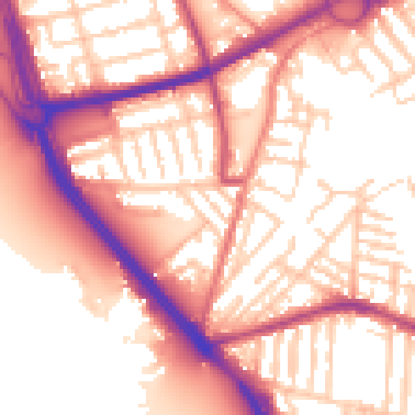
Daytime· 07:00 – 23:00
56.7dB

Night-time· 23:00 – 07:00
47.6dB