3 Barkeley Drive, Liverpool, L21 4LX
About 3 Barkeley Drive
3 Barkeley Drive is an end-of-terrace house in Liverpool (L21 4LX). It has a recorded floor area of 159 m² (around 1711 sq ft), construction records dating it to 1900-1929 and council tax band A. The latest certificate (December 2016) shows an E (score 53), well below the UK norm with real room to improve. The recommended improvements would lift it to B (score 81), a 3-band jump.
At 159 m² the property is well over the postcode median (122 m² across 20 EPCs), placing it in the larger end of the local stock. Across 1996–2024, sale prices on this property compounded at 9.5% per year. Today's modelled estimate of £153,000 is 17.7% above the 2024 sale price. Last sale on file: £130,000 in July 2024.
Everything you need to know about 3 Barkeley Drive
The true value, the hidden risks and the full sale history, in one report.
30-day money-back guarantee

The data behind every report


Energy performance
3 Barkeley Drive's carbon output runs well above what efficient homes in the postcode produce.
EPC Rating
Planning history
3 Barkeley Drive has no planning applications on record.
The full report still covers planning activity across the surrounding area.
Sales history & valuation
3 Barkeley Drive has more than quadrupled in price since its earliest registered sale in 1996.
£153,000
Modelled from EPC, postcode comparables and a sale-price growth of 9.5% per year over 28 years.
£130,000
Growth on file: 9.5% per year over 28 years.
Sales timeline
25 July 2024Most recent
£130,000
+8.3%over 17 years2 April 2007
£120,000
+189.2%over 6 years29 June 2000
£41,500
+315.0%over 4 years30 May 1996
£10,000
Median price across the last 5 sales in L21 4LX: £160,000 (2024–2021).
Nearby sales in L21 4LX
Versus other Barkeley Drive homes
On years held, 3 Barkeley Drive runs well behind the street norm.
Price per m²
£818
Street avg £861
Floor Area
159 m²
Street avg 126 m²
Habitable Rooms
6 rooms
Street avg 6 rooms
CO₂ Emissions
8.6 t/year
Street avg 6.6 t/year
Everything you need to know about 3 Barkeley Drive
The true value, the hidden risks and the full sale history, in one report.
30-day money-back guarantee
The data behind every report
Similar properties nearby
The neighbourhood at a glance
Rail-style transport is unusually close for this postcode.
Crime
4/mo
Rising year-on-year across the wider district.
Nearest stop
0.1 km
Elm Drive — bus stop.
Closest school
0.5 km
Rimrose Hope CofE Primary School. 30 schools nearby.
Go deeper on the local area
The full report breaks down crime, transport links, schools and air quality in depth.
Road noise across the postcode
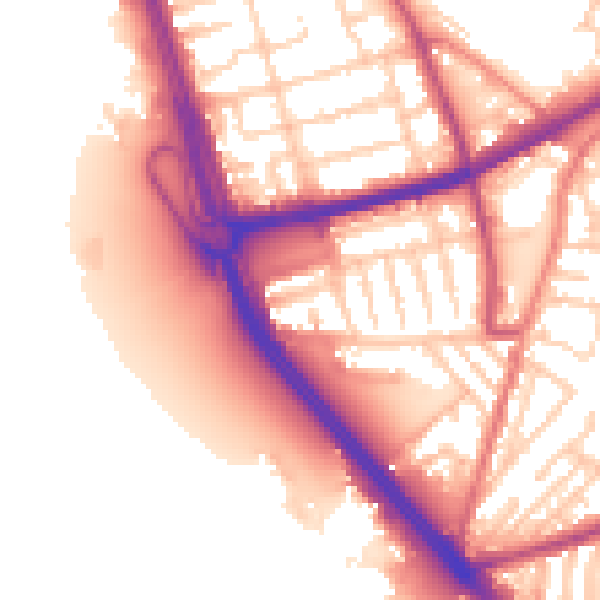
Daytime· 07:00 – 23:00
56.4dB
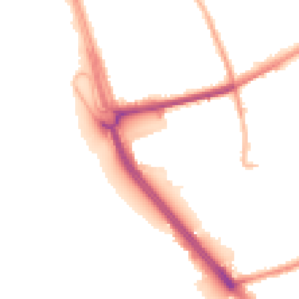
Night-time· 23:00 – 07:00
48.0dB