11 Barkeley Drive, Liverpool, L21 4LX
About 11 Barkeley Drive
11 Barkeley Drive is a four-bedroom mid-terrace house in Liverpool (L21 4LX). It has a recorded floor area of 120 m² (around 1292 sq ft), construction records dating it to 1900-1929 and council tax band A. The latest certificate (September 2023) shows a C (score 73). When first surveyed in November 2010 the rating was D, the property has climbed 1 band since. Between certificates, roof efficiency went from Good to Very Good, window efficiency went from Very Poor to Good and lighting went from Average to Very Good. The recommended improvements would push it to B (score 88).
On energy efficiency it sits in the top 10% of properties in this postcode. Across 2008–2024, sale prices on this property compounded at 4.5% per year. On a £-per-square-foot basis, the last sale (£143/sq ft) was about 110.8% above the typical sold price in the postcode. Most recent transfer: May 2024 at £184,950.
What this property has
Inside
- Bedrooms4
- Bathrooms1
Everything you need to know about 11 Barkeley Drive
The true value, the hidden risks and the full sale history, in one report.
30-day money-back guarantee

The data behind every report


Energy performance
11 Barkeley Drive ranks among the most efficient homes in the postcode for energy use.
EPC Rating
Property Improvements
Changes detected from historical EPC data
Single glazing replaced with double or better glazing
Loft insulation upgraded to recommended levels
More low energy lighting installed
Planning history
11 Barkeley Drive has no planning applications on record.
The full report still covers planning activity across the surrounding area.
Sales history & valuation
Latest sale on 11 Barkeley Drive was the highest on Land Registry record across the postcode.
£200,000
Modelled from EPC, postcode comparables and a sale-price growth of 4.5% per year over 16 years.
£184,950
Growth on file: 4.5% per year over 16 years.
Sales timeline
20 May 2024Most recent
£184,950
+97.8%over 15 years7 November 2008
£93,500
Median price across the last 5 sales in L21 4LX: £135,000 (2024–2021).
Nearby sales in L21 4LX
Versus other Barkeley Drive homes
EPC Rating for 11 Barkeley Drive runs comfortably ahead of the street norm.
Price per m²
£1,541
Street avg £816
Floor Area
120 m²
Street avg 128 m²
Habitable Rooms
5 rooms
Street avg 6 rooms
CO₂ Emissions
3.6 t/year
Street avg 6.9 t/year
Everything you need to know about 11 Barkeley Drive
The true value, the hidden risks and the full sale history, in one report.
30-day money-back guarantee
The data behind every report
Similar properties nearby
The neighbourhood at a glance
Rail-style transport is unusually close for this postcode.
Crime
4/mo
Rising year-on-year across the wider district.
Nearest stop
0.1 km
Elm Drive — bus stop.
Closest school
0.5 km
Rimrose Hope CofE Primary School. 30 schools nearby.
Go deeper on the local area
The full report breaks down crime, transport links, schools and air quality in depth.
Road noise across the postcode
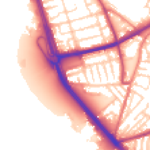
Daytime· 07:00 – 23:00
56.4dB
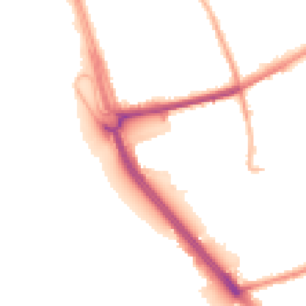
Night-time· 23:00 – 07:00
48.0dB