4 Green Lane, Seaforth, Liverpool, L21 3UA
About 4 Green Lane
4 Green Lane is a mid-terrace house in Seaforth, Liverpool, Liverpool (L21 3UA). It has a recorded floor area of 80 m² (around 861 sq ft), construction records dating it to 1900-1929 and council tax band A. The latest certificate (May 2022) shows a D (score 66), on the cusp of jumping into the C band. The recommended improvements would lift it to B (score 87), a 2-band jump.
Everything you need to know about 4 Green Lane
The true value, the hidden risks and the full sale history, in one report.
30-day money-back guarantee

The data behind every report


Energy performance
Recommended upgrades on file would lift this property by multiple EPC bands.
EPC Rating
Planning history
4 Green Lane has no planning applications on record.
The full report still covers planning activity across the surrounding area.
Sales history & valuation
4 Green Lane has no Land Registry sales on file, suggesting it has stayed in the same hands since registration began.
£125,000
Modelled from EPC, postcode comparables.
No sales recorded with HM Land Registry
That can mean the property has never traded since the registry began publishing in 1995, was a new build that hasn't been registered yet, or is held in the same hands long-term.
Median price across the last 5 sales in L21 3UA: £82,600 (2023–2019).
Nearby sales in L21 3UA
16 Green Lane, Seaforth, Liverpool, L21 3UA
Sold Nov 2023
£78,00020 Green Lane, Seaforth, Liverpool, L21 3UA
Sold Jul 2023
£94,00034 Green Lane, Seaforth, Liverpool, L21 3UA
Sold Mar 2023
£80,00028 Green Lane, Seaforth, Liverpool, L21 3UA
Sold Mar 2021
£88,00010 Green Lane, Seaforth, Liverpool, L21 3UA
Sold Nov 2019
£82,600
Versus other Green Lane homes
EPC Rating
66 (D)
Street avg 65 (D)
Floor Area
80 m²
Street avg 89 m²
CO₂ Emissions
3.4 t/year
Street avg 3.6 t/year
Habitable Rooms
5 rooms
Street avg 4 rooms
Everything you need to know about 4 Green Lane
The true value, the hidden risks and the full sale history, in one report.
30-day money-back guarantee
The data behind every report
Similar properties nearby
1 Hawarden Grove
L21 3TS
11 Lime Grove, Seaforth
L21 3TT
10 Green Lane, Seaforth
L21 3UA
12 Green Lane, Seaforth
L21 3UA
12 Hawarden Grove
L21 3TS
11 Hawarden Grove
L21 3TS
1 Mary Stockton Court, Seaforth Vale West
L21 3UD
10 Kepler Street, Seaforth
L21 3TF
The neighbourhood at a glance
Rail-style transport is unusually close for this postcode.
Crime
4/mo
Rising year-on-year across the wider district.
Nearest stop
0.2 km
Seaforth Station — bus stop.
Closest school
0.1 km
Rimrose Hope CofE Primary School. 33 schools nearby.
Go deeper on the local area
The full report breaks down crime, transport links, schools and air quality in depth.
Road noise across the postcode
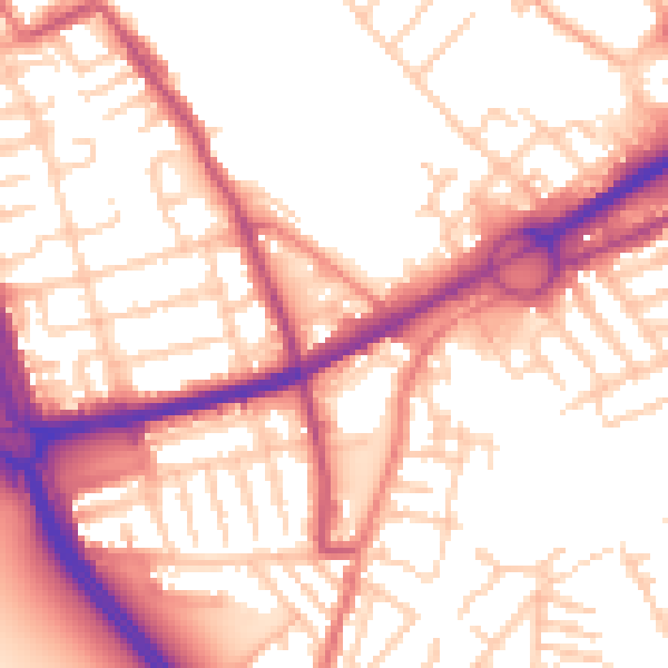
Daytime· 07:00 – 23:00
55.4dB
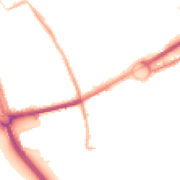
Night-time· 23:00 – 07:00
45.6dB