34 Green Lane, Seaforth, Liverpool, L21 3UA
About 34 Green Lane
34 Green Lane is a mid-terrace house in Seaforth, Liverpool, Liverpool (L21 3UA). It has a recorded floor area of 85 m² (around 915 sq ft), construction records dating it to 1900-1929 and council tax band A. The latest certificate (May 2023) shows a C (score 72). When first surveyed in June 2013 the rating was D, the property has climbed 1 band since. Between certificates, wall efficiency went from Very Poor to Poor, window efficiency went from Poor to Good and lighting went from Average to Very Good. The recommended improvements would push it to B (score 88).
Today's modelled estimate of £130,000 sits 62.5% above the 2023 sale of £80,000. On a £-per-square-foot basis, the last sale (£87/sq ft) was about 39.7% above the typical sold price in the postcode. Its energy rating outperforms most of the postcode (better than 73% of similar EPCs). Sold March 2023 for £80,000.
Everything you need to know about 34 Green Lane
The true value, the hidden risks and the full sale history, in one report.
30-day money-back guarantee

The data behind every report


Energy performance
EPC Rating
Property Improvements
Changes detected from historical EPC data
Windows upgraded, improving insulation
Wall insulation improved
More low energy lighting installed
Planning history
34 Green Lane has no planning applications on record.
The full report still covers planning activity across the surrounding area.
Sales history & valuation
34 Green Lane valuation sits well clear of the typical sold price in this postcode.
£130,000
Modelled from EPC, postcode comparables.
£80,000
Recorded with HM Land Registry.
Sales timeline
16 March 2023Most recent
£80,000
Median price across the last 5 sales in L21 3UA: £85,000 (2023–2019).
Nearby sales in L21 3UA
16 Green Lane, Seaforth, Liverpool, L21 3UA
Sold Nov 2023
£78,00020 Green Lane, Seaforth, Liverpool, L21 3UA
Sold Jul 2023
£94,00028 Green Lane, Seaforth, Liverpool, L21 3UA
Sold Mar 2021
£88,00010 Green Lane, Seaforth, Liverpool, L21 3UA
Sold Nov 2019
£82,6002 Green Lane, Seaforth, Liverpool, L21 3UA
Sold Nov 2019
£85,000
Versus other Green Lane homes
CO₂ Emissions for 34 Green Lane runs comfortably ahead of the street norm.
Price per m²
£941
Street avg £827
Floor Area
85 m²
Street avg 88 m²
Habitable Rooms
5 rooms
Street avg 4 rooms
CO₂ Emissions
2.7 t/year
Street avg 3.7 t/year
Everything you need to know about 34 Green Lane
The true value, the hidden risks and the full sale history, in one report.
30-day money-back guarantee
The data behind every report
Similar properties nearby
1 Kepler Street, Seaforth
L21 3TE
10 Seaforth Vale North
L21 3TR
10b, Hicks Road, Seaforth
L21 3TD
10c, Hicks Road, Seaforth
L21 3TD
10 Green Lane, Seaforth
L21 3UA
10d, Hicks Road, Seaforth
L21 3TD
10a, Hicks Road, Seaforth
L21 3TD
1 Hawarden Grove
L21 3TS
The neighbourhood at a glance
Rail-style transport is unusually close for this postcode.
Crime
4/mo
Rising year-on-year across the wider district.
Nearest stop
0.2 km
Seaforth Station — bus stop.
Closest school
0.1 km
Rimrose Hope CofE Primary School. 33 schools nearby.
Go deeper on the local area
The full report breaks down crime, transport links, schools and air quality in depth.
Road noise across the postcode
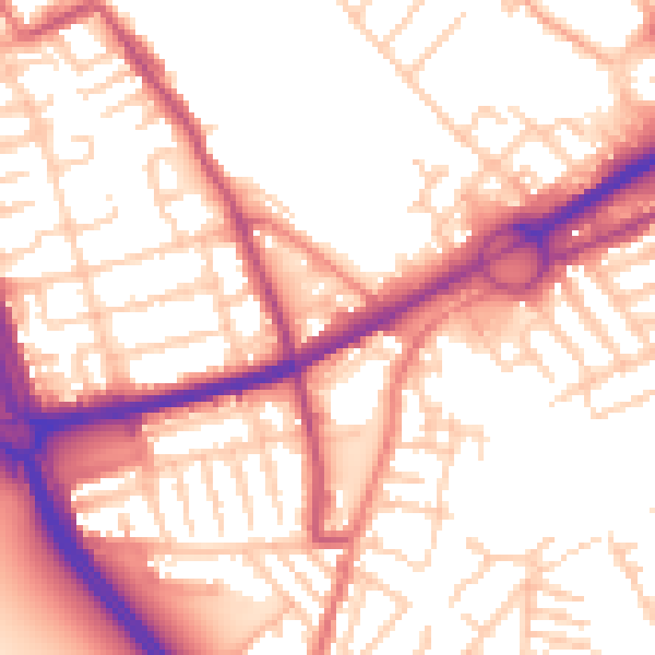
Daytime· 07:00 – 23:00
55.4dB
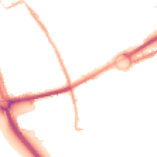
Night-time· 23:00 – 07:00
45.6dB