3 Ascot Avenue, Liverpool, L21 2PS
About 3 Ascot Avenue
3 Ascot Avenue is a three-bedroom semi-detached house in Liverpool (L21 2PS). It has a recorded floor area of 81 m² (around 872 sq ft), construction records dating it to 1930-1949 and council tax band B. The latest certificate (October 2014) shows an E (score 54), well below the UK norm with real room to improve. The recommended improvements would lift it to B (score 82), a 3-band jump. The latest certificate is from October 2014, so improvements made since then won't be reflected.
Today's modelled estimate of £188,000 sits 70.9% above the 2019 sale of £110,000. It lags the bulk of the postcode on energy efficiency (less efficient than 76% of similar EPCs). Sold December 2019 for £110,000.
What this property has
Inside
- Bedrooms3
- Bathrooms1
Everything you need to know about 3 Ascot Avenue
The true value, the hidden risks and the full sale history, in one report.
30-day money-back guarantee

The data behind every report


Energy performance
Recommended upgrades on file would lift this property by multiple EPC bands.
EPC Expired
This certificate is over 10 years old and is no longer valid.Expired 05 Oct 2024
EPC Rating
Planning history
3 Ascot Avenue has no planning applications on record.
The full report still covers planning activity across the surrounding area.
Sales history & valuation
3 Ascot Avenue valuation sits well clear of the typical sold price in this postcode.
£188,000
Modelled from EPC, postcode comparables.
£110,000
Recorded with HM Land Registry.
Sales timeline
13 December 2019Most recent
£110,000
Median price across the last 5 sales in L21 2PS: £138,000 (2024–2023).
Nearby sales in L21 2PS
Versus other Ascot Avenue homes
3 Ascot Avenue outperforms the street on habitable rooms by a wide margin.
Price per m²
£1,358
Street avg £1,598
Floor Area
81 m²
Street avg 74 m²
Habitable Rooms
7 rooms
Street avg 5 rooms
CO₂ Emissions
4.7 t/year
Street avg 4.0 t/year
Everything you need to know about 3 Ascot Avenue
The true value, the hidden risks and the full sale history, in one report.
30-day money-back guarantee
The data behind every report
Similar properties nearby
1 Cullen Drive, Litherland
L21 2NB
10 Moorhead Close, Litherland
L21 2NA
1 Ridgewell Close, Litherland
L21 2ND
1 Ranelagh Avenue
L21 2PR
10 Richmond Avenue
L21 2PT
10 Ranelagh Avenue
L21 2PR
10 Ash Road
L21 2PY
10 Cullen Drive, Litherland
L21 2NB
The neighbourhood at a glance
Rail-style transport is unusually close for this postcode.
Crime
4/mo
Rising year-on-year across the wider district.
Nearest stop
0.2 km
Highfield Road — bus stop.
Closest school
0.5 km
Rimrose Hope CofE Primary School. 35 schools nearby.
Go deeper on the local area
The full report breaks down crime, transport links, schools and air quality in depth.
Road noise across the postcode
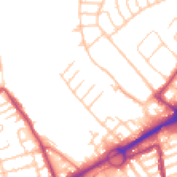
Daytime· 07:00 – 23:00
51.1dB

Night-time· 23:00 – 07:00
41.8dB