15 Ascot Avenue, Liverpool, L21 2PS
About 15 Ascot Avenue
15 Ascot Avenue is a three-bedroom semi-detached house in Liverpool (L21 2PS). It has a recorded floor area of 79 m² (around 850 sq ft), construction records dating it to 1930-1949 and council tax band B. The latest certificate (February 2024) shows a C (score 74). When first surveyed in June 2023 the rating was D, the property has climbed 1 band since. Between certificates, window efficiency went from Average to Good and hot-water efficiency went from Average to Good. The recommended improvements would push it to B (score 87).
Its energy rating outperforms most of the postcode (better than 84% of similar EPCs). Today's modelled estimate of £199,000 is 44.2% above the 2023 sale price. On a £-per-square-foot basis, the last sale (£162/sq ft) was about 45.7% above the typical sold price in the postcode. Most recent transfer: August 2023 at £138,000.
What this property has
Inside
- Bedrooms3
- Bathrooms2
Everything you need to know about 15 Ascot Avenue
The true value, the hidden risks and the full sale history, in one report.
30-day money-back guarantee

The data behind every report


Energy performance
EPC Rating
Property Improvements
Changes detected from historical EPC data
Hot water system upgraded
Window efficiency improved
Planning history
15 Ascot Avenue has no planning applications on record.
The full report still covers planning activity across the surrounding area.
Sales history & valuation
15 Ascot Avenue valuation sits well clear of the typical sold price in this postcode.
£199,000
Modelled from EPC, postcode comparables.
£138,000
Recorded with HM Land Registry.
Sales timeline
13 August 2023Most recent
£138,000
Median price across the last 5 sales in L21 2PS: £180,000 (2024–2023).
Nearby sales in L21 2PS
Versus other Ascot Avenue homes
15 Ascot Avenue outperforms the street on epc rating by a wide margin.
Price per m²
£1,747
Street avg £1,580
Floor Area
79 m²
Street avg 74 m²
Habitable Rooms
5 rooms
Street avg 5 rooms
CO₂ Emissions
2.4 t/year
Street avg 4.1 t/year
Everything you need to know about 15 Ascot Avenue
The true value, the hidden risks and the full sale history, in one report.
30-day money-back guarantee
The data behind every report
Similar properties nearby
10 Richmond Avenue
L21 2PT
10 Moorhead Close, Litherland
L21 2NA
1 Cullen Drive, Litherland
L21 2NB
10 Ranelagh Avenue
L21 2PR
1 Ridgewell Close, Litherland
L21 2ND
1 Ranelagh Avenue
L21 2PR
10 Ash Road
L21 2PY
10 Cullen Drive, Litherland
L21 2NB
The neighbourhood at a glance
Rail-style transport is unusually close for this postcode.
Crime
4/mo
Rising year-on-year across the wider district.
Nearest stop
0.2 km
Highfield Road — bus stop.
Closest school
0.5 km
Rimrose Hope CofE Primary School. 35 schools nearby.
Go deeper on the local area
The full report breaks down crime, transport links, schools and air quality in depth.
Road noise across the postcode
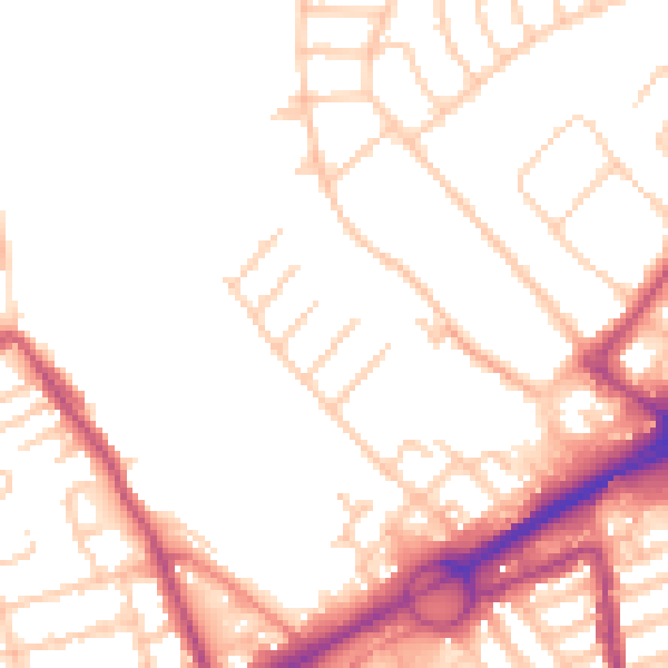
Daytime· 07:00 – 23:00
51.1dB

Night-time· 23:00 – 07:00
41.8dB