3 Belgrave Road, Seaforth, Liverpool, L21 1EH
About 3 Belgrave Road
3 Belgrave Road is a mid-terrace house in Seaforth, Liverpool, Liverpool (L21 1EH). It has a recorded floor area of 87 m² (around 936 sq ft), construction records dating it to 1900-1929 and council tax band A. The latest certificate (April 2025) shows a C (score 76), near the top of the C band. The recommended improvements would push it to B (score 89).
At 87 m² the property is well over the postcode median (63 m² across 18 EPCs), placing it in the larger end of the local stock. One historical planning record sits against the property in 2024.
Everything you need to know about 3 Belgrave Road
The true value, the hidden risks and the full sale history, in one report.
30-day money-back guarantee

The data behind every report


Energy performance
EPC Rating
Planning history
- Sept 2024RenovationFullIn report
Thermal upgrade works to include external wall insulation to all side and rear elevations and alterations to eaves overhang at 1, 3, 7, 9 & 11 Belgrave Road
- Agent
- BYA LTD
- Documents
- 6 docs on file
- Reference
- DC/2024/01288
We flagged 1 thing worth checking at 3 Belgrave Road
Independent checks surfaced things a buyer would want to understand before offering. The report explains each one in full, with the underlying data and what to ask.
- Signs of HMO activity in the area
30-day money-back guarantee
Sales history & valuation
3 Belgrave Road has no Land Registry sales on file, suggesting it has stayed in the same hands since registration began.
£129,000
Modelled from EPC, postcode comparables.
No sales recorded with HM Land Registry
That can mean the property has never traded since the registry began publishing in 1995, was a new build that hasn't been registered yet, or is held in the same hands long-term.
Median price across the last 2 sales in L21 1EH: £81,250 (2024–2018).
Nearby sales in L21 1EH
Versus other Belgrave Road homes
3 Belgrave Road outperforms the street on habitable rooms by a wide margin.
EPC Rating
76 (C)
Street avg 74 (C)
Floor Area
87 m²
Street avg 67 m²
CO₂ Emissions
2.3 t/year
Street avg 2.1 t/year
Habitable Rooms
6 rooms
Street avg 4 rooms
Everything you need to know about 3 Belgrave Road
The true value, the hidden risks and the full sale history, in one report.
30-day money-back guarantee
The data behind every report
Similar properties nearby
The neighbourhood at a glance
Rail-style transport is unusually close for this postcode.
Crime
4/mo
Rising year-on-year across the wider district.
Nearest stop
0.1 km
Riversdale Road — bus stop.
Closest school
0.4 km
Rimrose Hope CofE Primary School. 30 schools nearby.
Go deeper on the local area
The full report breaks down crime, transport links, schools and air quality in depth.
Road noise across the postcode
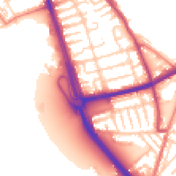
Daytime· 07:00 – 23:00
55.8dB

Night-time· 23:00 – 07:00
47.2dB