12 Belgrave Road, Seaforth, Liverpool, L21 1EH
About 12 Belgrave Road
12 Belgrave Road is a mid-terrace house in Seaforth, Liverpool, Liverpool (L21 1EH). It has a recorded floor area of 52 m² (around 560 sq ft), construction records dating it to 1900-1929 and council tax band A. The latest certificate (March 2015) shows a D (score 65), on the cusp of jumping into the C band. The recommended improvements would lift it to B (score 89), a 2-band jump. The latest certificate is from March 2015, so improvements made since then won't be reflected.
At 52 m² it's 17.5% smaller than the typical home in the postcode (63 m² median across 18 EPCs). On energy efficiency it sits in the bottom 10% of properties in this postcode — significant headroom for improvement. Across 2018–2024, sale prices on this property compounded at 7.4% per year. Today's modelled estimate of £117,000 is 17% above the 2024 sale price. Last sale on file: £100,000 in November 2024.
Everything you need to know about 12 Belgrave Road
The true value, the hidden risks and the full sale history, in one report.
30-day money-back guarantee

The data behind every report


Energy performance
12 Belgrave Road sits at the bottom of the postcode for energy efficiency — meaningful headroom to improve.
EPC Expired
This certificate is over 10 years old and is no longer valid.Expired 12 Mar 2025
EPC Rating
Planning history
12 Belgrave Road has no planning applications on record.
Notable planning nearby
14applications of note in the surrounding area
We flagged 1 thing worth checking at 12 Belgrave Road
Independent checks surfaced things a buyer would want to understand before offering. The report explains each one in full, with the underlying data and what to ask.
- Signs of HMO activity in the area
30-day money-back guarantee
Sales history & valuation
£117,000
Modelled from EPC, postcode comparables and a sale-price growth of 7.4% per year over 7 years.
£100,000
Growth on file: 7.4% per year over 7 years.
Sales timeline
15 November 2024Most recent
£100,000
+60.0%over 6 years24 April 2018
£62,500
Versus other Belgrave Road homes
On epc rating, 12 Belgrave Road runs well behind the street norm.
EPC Rating
65 (D)
Street avg 74 (C)
Floor Area
52 m²
Street avg 69 m²
CO₂ Emissions
2.6 t/year
Street avg 2.0 t/year
Habitable Rooms
3 rooms
Street avg 4 rooms
Everything you need to know about 12 Belgrave Road
The true value, the hidden risks and the full sale history, in one report.
30-day money-back guarantee
The data behind every report
Similar properties nearby
The neighbourhood at a glance
Rail-style transport is unusually close for this postcode.
Crime
4/mo
Rising year-on-year across the wider district.
Nearest stop
0.1 km
Riversdale Road — bus stop.
Closest school
0.4 km
Rimrose Hope CofE Primary School. 30 schools nearby.
Go deeper on the local area
The full report breaks down crime, transport links, schools and air quality in depth.
Road noise across the postcode
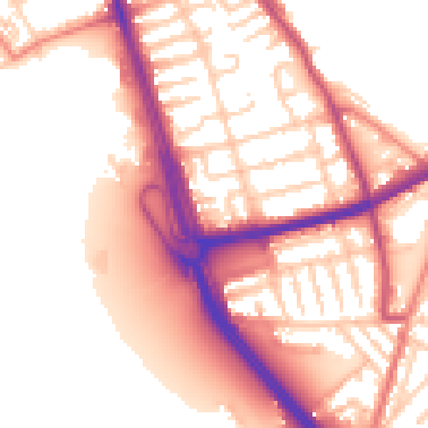
Daytime· 07:00 – 23:00
55.8dB

Night-time· 23:00 – 07:00
47.2dB