20 Cecil Road, Liverpool, L21 1DD
About 20 Cecil Road
20 Cecil Road is a four-bedroom mid-terrace house in Liverpool (L21 1DD). It has a recorded floor area of 156 m² (around 1679 sq ft), construction records dating it to before 1900 and council tax band A. The latest certificate (April 2017) shows a D (score 64), on the cusp of jumping into the C band. The recommended improvements would push it to C (score 80).
It hasn't traded since July 2008, a hold of 18 years that's notably long for the area. That sale landed at the peak of the pre-credit-crunch market, which is a useful reference point when interpreting the price. One planning record on file: an extension approved in 2009. Past consents include an extension, meaningful when judging how the property has evolved. Across 2003–2008, sale prices on this property compounded at 12.4% per year. Today's modelled estimate of £175,000 is 27.1% above the 2008 sale price. On a £-per-square-foot basis, the last sale (£82/sq ft) was about 25.9% above the typical sold price in the postcode.
What this property has
Inside
- Bedrooms4
Everything you need to know about 20 Cecil Road
The true value, the hidden risks and the full sale history, in one report.
30-day money-back guarantee

The data behind every report


Energy performance
20 Cecil Road's carbon output runs well above what efficient homes in the postcode produce.
EPC Rating
Planning history
20 Cecil Road has an approved single-storey rear extension on the planning record.
- Feb 2009ExtensionFullIn report
Extension: Single storey · Rear of property
Erection of a single storey extension at the rear of the dwellinghouse
- Documents
- 5 docs on file
- Reference
- S/2008/0974
We flagged 1 thing worth checking at 20 Cecil Road
Independent checks surfaced things a buyer would want to understand before offering. The report explains each one in full, with the underlying data and what to ask.
- Signs of HMO activity in the area
30-day money-back guarantee
Sales history & valuation
The latest sale landed at the peak of the pre-credit-crunch market — a high-water reference point.
£175,000
Modelled from EPC, postcode comparables and a sale-price growth of 12.4% per year over 5 years.
£137,726
Growth on file: 12.4% per year over 5 years.
Sales timeline
27 July 2008Most recent
£137,726
+72.2%over 4 years9 December 2003
£80,000
Median price across the last 5 sales in L21 1DD: £145,000 (2025–2016).
Versus other Cecil Road homes
Price per m²
£883
Street avg £734
Floor Area
156 m²
Street avg 154 m²
Habitable Rooms
7 rooms
Street avg 7 rooms
CO₂ Emissions
6.1 t/year
Street avg 5.6 t/year
Everything you need to know about 20 Cecil Road
The true value, the hidden risks and the full sale history, in one report.
30-day money-back guarantee
The data behind every report
Similar properties nearby
1 Claremont Road, Seaforth
L21 1HS
1 Holly Grove, Seaforth
L21 1BN
1 Russell Row, Gladstone Road, Seaforth
L21 1DE
1 Beech Grove, Seaforth
L21 1BP
1 Riversdale Road, Seaforth
L21 1HX
1 Montgomery Close, Seaforth
L21 1ET
1 Gladstone Road, Seaforth
L21 1DE
1 Kings Park
L21 1BB
The neighbourhood at a glance
Rail-style transport is unusually close for this postcode.
Crime
4/mo
Rising year-on-year across the wider district.
Nearest stop
0.2 km
Elm Road — bus stop.
Closest school
0.2 km
Rimrose Hope CofE Primary School. 31 schools nearby.
Go deeper on the local area
The full report breaks down crime, transport links, schools and air quality in depth.
Road noise across the postcode
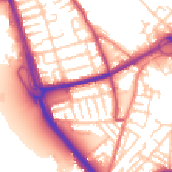
Daytime· 07:00 – 23:00
56.9dB

Night-time· 23:00 – 07:00
47.5dB