14 Cecil Road, Liverpool, L21 1DD
About 14 Cecil Road
14 Cecil Road is a mid-terrace house in Liverpool (L21 1DD). It has a recorded floor area of 139 m² (around 1496 sq ft), construction records dating it to before 1900 and council tax band A. The latest certificate (October 2014) shows a D (score 66), on the cusp of jumping into the C band. The recommended improvements would lift it to B (score 84), a 2-band jump. The latest certificate is from October 2014, so improvements made since then won't be reflected.
Across 2014–2014, sale prices on this property compounded at -5% per year. Today's modelled estimate of £159,000 sits 67.4% above the 2014 sale of £95,000. Last sold in November 2014, so it's been off the market for around 12 years.
Everything you need to know about 14 Cecil Road
The true value, the hidden risks and the full sale history, in one report.
30-day money-back guarantee

The data behind every report


Energy performance
Recommended upgrades on file would lift this property by multiple EPC bands.
EPC Expired
This certificate is over 10 years old and is no longer valid.Expired 08 Oct 2024
EPC Rating
Planning history
14 Cecil Road has no planning applications on record.
Notable planning nearby
14applications of note in the surrounding area
We flagged 1 thing worth checking at 14 Cecil Road
Independent checks surfaced things a buyer would want to understand before offering. The report explains each one in full, with the underlying data and what to ask.
- Signs of HMO activity in the area
30-day money-back guarantee
Sales history & valuation
14 Cecil Road changed hands twice within eighteen months — unusual for the area.
£159,000
Modelled from EPC, postcode comparables and a sale-price growth of -5.0% per year over 1 year.
£95,000
Growth on file: -5.0% per year over 1 year.
Sales timeline
21 November 2014Most recent
£95,000
-5.0%7 November 2014
£100,000
Median price across the last 5 sales in L21 1DD: £145,000 (2025–2016).
Versus other Cecil Road homes
Floor Area for 14 Cecil Road lags the street by a wide margin.
Price per m²
£683
Street avg £763
Floor Area
139 m²
Street avg 156 m²
Habitable Rooms
7 rooms
Street avg 7 rooms
CO₂ Emissions
5.0 t/year
Street avg 5.7 t/year
Everything you need to know about 14 Cecil Road
The true value, the hidden risks and the full sale history, in one report.
30-day money-back guarantee
The data behind every report
Similar properties nearby
1 Gladstone Road, Seaforth
L21 1DE
1 Kings Park
L21 1BB
1 Claremont Road, Seaforth
L21 1HS
1 Montgomery Close, Seaforth
L21 1ET
1 Russell Row, Gladstone Road, Seaforth
L21 1DE
1 Holly Grove, Seaforth
L21 1BN
1 Beech Grove, Seaforth
L21 1BP
1 Durham Road
L21 1EE
The neighbourhood at a glance
Rail-style transport is unusually close for this postcode.
Crime
4/mo
Rising year-on-year across the wider district.
Nearest stop
0.2 km
Elm Road — bus stop.
Closest school
0.2 km
Rimrose Hope CofE Primary School. 31 schools nearby.
Go deeper on the local area
The full report breaks down crime, transport links, schools and air quality in depth.
Road noise across the postcode
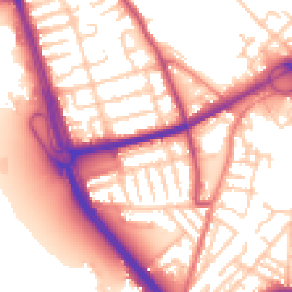
Daytime· 07:00 – 23:00
56.9dB

Night-time· 23:00 – 07:00
47.5dB