56a, Four Acre Drive, Liverpool, L21 0ET
About 56a
56a is a two-bedroom semi-detached house in Liverpool (L21 0ET). It has a recorded floor area of 57 m² (around 614 sq ft), construction records dating it to 1950-1966 and council tax band A. At 57 m² this is the 2nd smallest of 28 units on EPC record in the building, where floor areas span 56–121 m². The building's EPC ratings span E to B across 28 units on file. The latest certificate (March 2023) shows a C (score 74).
Held since June 2007 — that's 19 years off the open market, well above the local norm. That sale landed at the peak of the pre-credit-crunch market, which is a useful reference point when interpreting the price. Today's modelled estimate of £102,000 sits 131.8% above the 2007 sale of £44,000. At 57 m² it's 17.4% smaller than the typical home in the postcode (69 m² median across 27 EPCs).
What this property has
Inside
- Bedrooms2
- Bathrooms1
Outside
- Private gardenYes
Everything you need to know about 56a
The true value, the hidden risks and the full sale history, in one report.
30-day money-back guarantee

The data behind every report


Energy performance
EPC Rating
Planning history
56a has no planning applications on record.
Notable planning nearby
3applications of note in the surrounding area
Sales history & valuation
The latest sale landed at the peak of the pre-credit-crunch market — a high-water reference point.
£102,000
Modelled from EPC, postcode comparables.
£44,000
Recorded with HM Land Registry.
Sales timeline
7 June 2007Most recent
£44,000
Median price across the last 5 sales in L21 0ET: £103,000 (2025–2022).
Nearby sales in L21 0ET
Versus other Four Acre Drive homes
On co₂ emissions, 56a stands well clear of the street.
EPC Rating
74 (C)
Street avg 69 (D)
Floor Area
57 m²
Street avg 63 m²
CO₂ Emissions
1.7 t/year
Street avg 2.5 t/year
Habitable Rooms
3 rooms
Street avg 3 rooms
Everything you need to know about 56a
The true value, the hidden risks and the full sale history, in one report.
30-day money-back guarantee
The data behind every report
Similar properties nearby
1 Heathview
L21 0HA
1 Cemetery Cottages, Sterrix Lane
L21 0DD
1 Kenmore Cottages, Gorsey Lane, Ford
L21 0EH
1 Bowland Drive
L21 0JA
1 Octavia Hill Road
L21 0DY
1 Ford Lane
L21 0HG
1 Kirkstone Road West
L21 0EG
1 Bleasdale Way
L21 0JD
The neighbourhood at a glance
Reported crime in the wider district is trending notably upward year-on-year.
Crime
4/mo
Rising year-on-year across the wider district.
Nearest stop
0.1 km
Randall Drive — bus stop.
Closest school
0.4 km
Our Lady Queen of Peace Catholic Primary School. 36 schools nearby.
Go deeper on the local area
The full report breaks down crime, transport links, schools and air quality in depth.
Road noise across the postcode
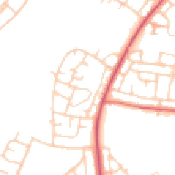
Daytime· 07:00 – 23:00
47.8dB

Night-time· 23:00 – 07:00
39.1dB