4 Pankhurst Road, Liverpool, L21 0EF
About 4 Pankhurst Road
4 Pankhurst Road is a three-bedroom mid-terrace house in Liverpool (L21 0EF). It has a recorded floor area of 99 m² (around 1066 sq ft), construction records dating it to 1930-1949 and council tax band A. The latest certificate (September 2015) shows an E (score 52), well below the UK norm with real room to improve. The recommended improvements would lift it to C (score 79), a 2-band jump. The latest certificate is from September 2015, so improvements made since then won't be reflected. Other recorded features include a conservatory. Records show the property has been extended at some point in its history.
At 99 m² the property is well over the postcode median (33 m² across 10 EPCs), placing it in the larger end of the local stock. On energy efficiency it sits in the bottom 10% of properties in this postcode — significant headroom for improvement. Across 2005–2018, sale prices on this property compounded at -2.1% per year. Today's modelled estimate of £160,000 sits 60% above the 2018 sale of £100,000. 8 years since the last transfer (March 2018).
What this property has
Inside
- Bedrooms3
- Dining roomYes
- ConservatoryYes
Building
- Heating systemGas
- Previously extendedYes
Everything you need to know about 4 Pankhurst Road
The true value, the hidden risks and the full sale history, in one report.
30-day money-back guarantee

The data behind every report


Energy performance
4 Pankhurst Road sits at the bottom of the postcode for energy efficiency — meaningful headroom to improve.
EPC Expired
This certificate is over 10 years old and is no longer valid.Expired 24 Sept 2025
EPC Rating
Planning history
4 Pankhurst Road has no planning applications on record.
Notable planning nearby
3applications of note in the surrounding area
Sales history & valuation
4 Pankhurst Road's sale-price growth has lagged the wider UK trajectory across its history on file.
£160,000
Modelled from EPC, postcode comparables and a sale-price growth of -2.1% per year over 12 years.
£100,000
Growth on file: -2.1% per year over 12 years.
Sales timeline
28 March 2018Most recent
£100,000
-23.0%over 12 years20 October 2005
£129,950
Median price across the last 1 sales in L21 0EF: £141,000 (2021–2021).
Nearby sales in L21 0EF
Everything you need to know about 4 Pankhurst Road
The true value, the hidden risks and the full sale history, in one report.
30-day money-back guarantee
The data behind every report
Similar properties nearby
1 Bowland Drive
L21 0JA
1 Octavia Hill Road
L21 0DY
1 Ford Lane
L21 0HG
1 Kenmore Cottages, Gorsey Lane, Ford
L21 0EH
1 Kirkstone Road West
L21 0EG
1 Cemetery Cottages, Sterrix Lane
L21 0DD
1 Heathview
L21 0HA
1 Pankhurst Road
L21 0EE
The neighbourhood at a glance
Reported crime in the wider district is trending notably upward year-on-year.
Crime
4/mo
Rising year-on-year across the wider district.
Nearest stop
0.1 km
Pankhurst Road — bus stop.
Closest school
0.4 km
Hatton Hill Primary School. 39 schools nearby.
Go deeper on the local area
The full report breaks down crime, transport links, schools and air quality in depth.
Road noise across the postcode
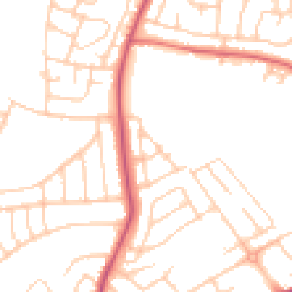
Daytime· 07:00 – 23:00
49.5dB

Night-time· 23:00 – 07:00
39.6dB