26 Gorsey Lane, Ford, Liverpool, L21 0DJ
About 26 Gorsey Lane
26 Gorsey Lane is a three-bedroom semi-detached house in Ford, Liverpool, Liverpool (L21 0DJ). It has a recorded floor area of 83 m² (around 893 sq ft), construction records dating it to 1930-1949 and council tax band A. The property has solar panels on record, all of which lower running costs and tend to lift resale appeal. The latest certificate (September 2014) shows a D (score 57), a step below the typical UK home. The recommended improvements would push it to C (score 77). The latest certificate is from September 2014, so improvements made since then won't be reflected.
11 years since the last transfer (April 2015). Across 1997–2015, sale prices on this property compounded at 5.8% per year. Today's modelled estimate of £162,000 is 32.8% above the 2015 sale price.
What this property has
Inside
- Bedrooms3
- Bathrooms1
Outside
- Private gardenYes
- ParkingYes
Building
- Heating systemGas
- Solar panelsYes
Everything you need to know about 26 Gorsey Lane
The true value, the hidden risks and the full sale history, in one report.
30-day money-back guarantee

The data behind every report


Energy performance
26 Gorsey Lane's EPC is over a decade old — improvements since won't be reflected.
EPC Expired
This certificate is over 10 years old and is no longer valid.Expired 18 Sept 2024
EPC Rating
Planning history
26 Gorsey Lane has no planning applications on record.
Notable planning nearby
3applications of note in the surrounding area
Sales history & valuation
Sale price has at least doubled since 1997.
£162,000
Modelled from EPC, postcode comparables and a sale-price growth of 5.8% per year over 18 years.
£122,000
Growth on file: 5.8% per year over 18 years.
Sales timeline
21 April 2015Most recent
£122,000
-7.2%over 8 years18 December 2006
£131,500
+198.9%over 9 years21 March 1997
£44,000
Median price across the last 4 sales in L21 0DJ: £136,000 (2024–2011).
Versus other Gorsey Lane homes
Years Held for 26 Gorsey Lane runs comfortably ahead of the street norm.
Price per m²
£1,470
Street avg £5,570
Floor Area
83 m²
Street avg 79 m²
Habitable Rooms
6 rooms
Street avg 5 rooms
CO₂ Emissions
4.4 t/year
Street avg 3.6 t/year
Everything you need to know about 26 Gorsey Lane
The true value, the hidden risks and the full sale history, in one report.
30-day money-back guarantee
The data behind every report
Similar properties nearby
1 Bowland Drive
L21 0JA
1 Octavia Hill Road
L21 0DY
1 Ford Lane
L21 0HG
1 Kirkstone Road West
L21 0EG
1 Kenmore Cottages, Gorsey Lane, Ford
L21 0EH
1 Cemetery Cottages, Sterrix Lane
L21 0DD
1 Heathview
L21 0HA
1 Pankhurst Road
L21 0EE
The neighbourhood at a glance
Reported crime in the wider district is trending notably upward year-on-year.
Crime
4/mo
Rising year-on-year across the wider district.
Nearest stop
0.0 km
Pankhurst Road — bus stop.
Closest school
0.3 km
Hatton Hill Primary School. 37 schools nearby.
Go deeper on the local area
The full report breaks down crime, transport links, schools and air quality in depth.
Road noise across the postcode
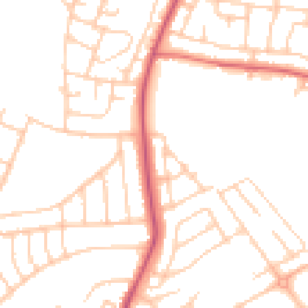
Daytime· 07:00 – 23:00
49.4dB

Night-time· 23:00 – 07:00
39.4dB