7 Manor Close, Bootle, L20 9NX
About 7 Manor Close
7 Manor Close is an end-of-terrace house in Bootle (L20 9NX). It has a recorded floor area of 47 m² (around 506 sq ft), construction records dating it to 1950-1966 and council tax band A. At 47 m² this is the 5th smallest of 19 units on EPC record in the building, where floor areas span 40–87 m². The building's EPC ratings span D to C, with this unit at the bottom. The latest certificate (February 2021) shows a D (score 63), on the cusp of jumping into the C band. The rating has held steady at D across 2 certificates since December 2020.
It lags the bulk of the postcode on energy efficiency (less efficient than 89% of similar EPCs). Today's modelled estimate of £107,000 is 47.6% above the 2021 sale price. On a £-per-square-foot basis, the last sale (£143/sq ft) was about 15.4% above the typical sold price in the postcode. Most recent transfer: February 2021 at £72,500. That sale was during the post-pandemic price surge, when transactions cleared materially above pre-2020 trend.
Everything you need to know about 7 Manor Close
The true value, the hidden risks and the full sale history, in one report.
30-day money-back guarantee

The data behind every report


Energy performance
EPC Rating
Planning history
7 Manor Close has no planning applications on record.
Notable planning nearby
7applications of note in the surrounding area
We flagged 1 thing worth checking at 7 Manor Close
Independent checks surfaced things a buyer would want to understand before offering. The report explains each one in full, with the underlying data and what to ask.
- Signs of HMO activity in the area
30-day money-back guarantee
Sales history & valuation
7 Manor Close's sale-price growth has lagged the wider UK trajectory across its history on file.
£107,000
Modelled from EPC, postcode comparables and a sale-price growth of 0.5% per year over 14 years.
£72,500
Growth on file: 0.5% per year over 14 years.
Sales timeline
12 February 2021Most recent
£72,500
+6.6%over 13 years5 July 2007
£68,000
Median price across the last 5 sales in L20 9NX: £115,000 (2024–2024).
Versus other Manor Close homes
7 Manor Close is notably below the street on epc rating.
Price per m²
£1,543
Street avg £1,439
Floor Area
47 m²
Street avg 58 m²
Habitable Rooms
2 rooms
Street avg 3 rooms
CO₂ Emissions
2.6 t/year
Street avg 2.1 t/year
Everything you need to know about 7 Manor Close
The true value, the hidden risks and the full sale history, in one report.
30-day money-back guarantee
The data behind every report
Similar properties nearby
The neighbourhood at a glance
Reported crime in the wider district is trending notably upward year-on-year.
Crime
7/mo
Rising year-on-year across the wider district.
Nearest stop
0.1 km
Hillside Close — bus stop.
Closest school
0.2 km
Hillside High School. 39 schools nearby.
Go deeper on the local area
The full report breaks down crime, transport links, schools and air quality in depth.
Road noise across the postcode
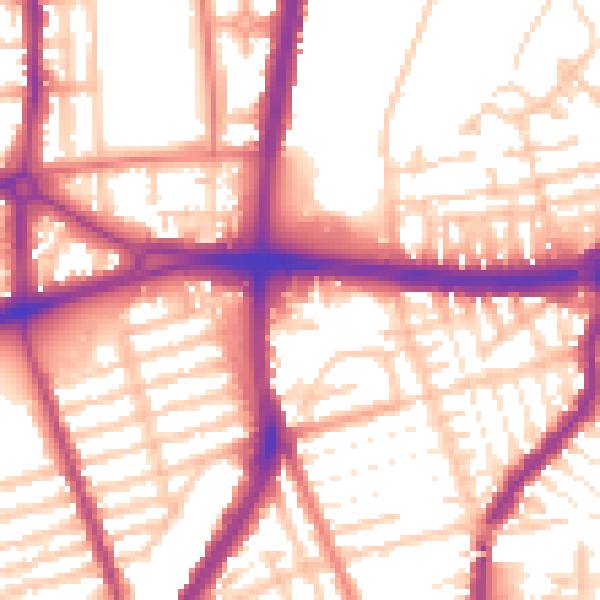
Daytime· 07:00 – 23:00
56.2dB

Night-time· 23:00 – 07:00
47.1dB