15 Manor Close, Bootle, L20 9NX
About 15 Manor Close
15 Manor Close is a mid-terrace house in Bootle (L20 9NX). It has a recorded floor area of 85 m² (around 915 sq ft), construction records dating it to 1930-1949 and council tax band A. At 85 m² this is the 17th smallest of 19 units on EPC record in the building, where floor areas span 40–87 m². The building's EPC ratings span D to C, with this unit at the top. The latest certificate (September 2016) shows a C (score 73). The rating has held steady at C across 2 certificates since December 2013. Between certificates, lighting dropped from Very Good to Average.
At 85 m² the property is well over the postcode median (51 m² across 18 EPCs), placing it in the larger end of the local stock. Last sale on file: £115,000 in July 2024.
Everything you need to know about 15 Manor Close
The true value, the hidden risks and the full sale history, in one report.
30-day money-back guarantee

The data behind every report


Energy performance
EPC Rating
Property Improvements
Changes detected from historical EPC data
Windows upgraded, improving insulation
Low energy lighting percentage decreased
Planning history
15 Manor Close has no planning applications on record.
Notable planning nearby
7applications of note in the surrounding area
We flagged 1 thing worth checking at 15 Manor Close
Independent checks surfaced things a buyer would want to understand before offering. The report explains each one in full, with the underlying data and what to ask.
- Signs of HMO activity in the area
30-day money-back guarantee
Sales history & valuation
15 Manor Close valuation sits well clear of the typical sold price in this postcode.
£121,000
Modelled from EPC, postcode comparables.
£115,000
Recorded with HM Land Registry.
Sales timeline
22 July 2024Most recent
£115,000
Median price across the last 5 sales in L20 9NX: £75,000 (2024–2024).
Versus other Manor Close homes
Habitable Rooms for 15 Manor Close runs comfortably ahead of the street norm.
Price per m²
£1,353
Street avg £1,449
Floor Area
85 m²
Street avg 56 m²
Habitable Rooms
4 rooms
Street avg 3 rooms
CO₂ Emissions
2.6 t/year
Street avg 2.1 t/year
Everything you need to know about 15 Manor Close
The true value, the hidden risks and the full sale history, in one report.
30-day money-back guarantee
The data behind every report
Similar properties nearby
The neighbourhood at a glance
Reported crime in the wider district is trending notably upward year-on-year.
Crime
7/mo
Rising year-on-year across the wider district.
Nearest stop
0.1 km
Hillside Close — bus stop.
Closest school
0.2 km
Hillside High School. 39 schools nearby.
Go deeper on the local area
The full report breaks down crime, transport links, schools and air quality in depth.
Road noise across the postcode
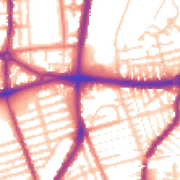
Daytime· 07:00 – 23:00
56.2dB

Night-time· 23:00 – 07:00
47.1dB