8 Hatfield Road, Bootle, L20 9EP
About 8 Hatfield Road
8 Hatfield Road is a mid-terrace house in Bootle (L20 9EP). It has a recorded floor area of 112 m² (around 1206 sq ft), construction records dating it to 1900-1929 and council tax band B. The latest certificate (September 2021) shows an E (score 39), well below the UK norm with real room to improve. The recommended improvements would lift it to B (score 82), a 3-band jump.
Across 2001–2022, sale prices on this property compounded at 5.3% per year. Today's modelled estimate of £185,000 is 32.1% above the 2022 sale price. Sold May 2022 for £140,000. That sale was during the post-pandemic price surge, when transactions cleared materially above pre-2020 trend.
Everything you need to know about 8 Hatfield Road
The true value, the hidden risks and the full sale history, in one report.
30-day money-back guarantee

The data behind every report


Energy performance
8 Hatfield Road's carbon output runs well above what efficient homes in the postcode produce.
EPC Rating
Planning history
8 Hatfield Road has no planning applications on record.
Notable planning nearby
7applications of note in the surrounding area
We flagged 1 thing worth checking at 8 Hatfield Road
Independent checks surfaced things a buyer would want to understand before offering. The report explains each one in full, with the underlying data and what to ask.
- Signs of HMO activity in the area
30-day money-back guarantee
Sales history & valuation
Sale price has at least doubled since 2001.
£185,000
Modelled from EPC, postcode comparables and a sale-price growth of 5.3% per year over 21 years.
£140,000
Growth on file: 5.3% per year over 21 years.
Sales timeline
5 May 2022Most recent
£140,000
+191.7%over 20 years26 July 2001
£48,000
Median price across the last 5 sales in L20 9EP: £146,000 (2023–2015).
Versus other Hatfield Road homes
8 Hatfield Road is notably below the street on epc rating.
Price per m²
£1,250
Street avg £1,264
Floor Area
112 m²
Street avg 117 m²
Habitable Rooms
6 rooms
Street avg 6 rooms
CO₂ Emissions
8.7 t/year
Street avg 5.8 t/year
Everything you need to know about 8 Hatfield Road
The true value, the hidden risks and the full sale history, in one report.
30-day money-back guarantee
The data behind every report
Similar properties nearby
The neighbourhood at a glance
Reported crime in the wider district is trending notably upward year-on-year.
Crime
7/mo
Rising year-on-year across the wider district.
Nearest stop
0.1 km
Oxford Road — bus stop.
Closest school
0.2 km
Hillside High School. 41 schools nearby.
Go deeper on the local area
The full report breaks down crime, transport links, schools and air quality in depth.
Road noise across the postcode
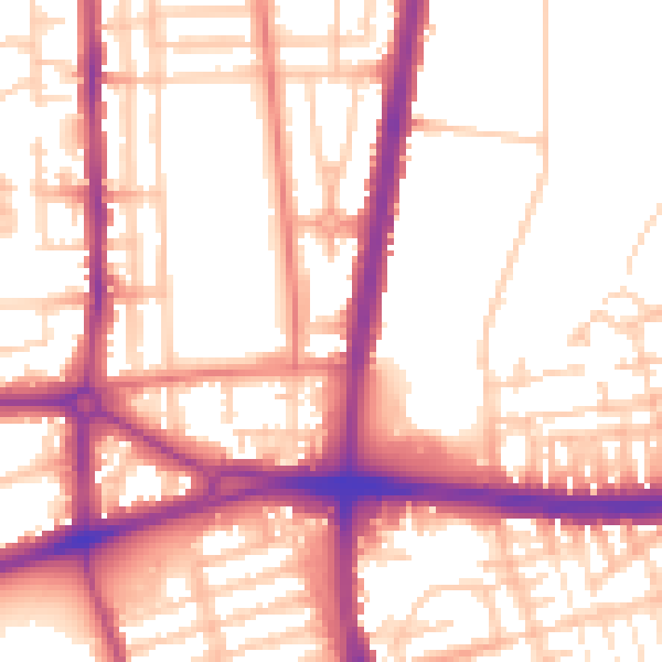
Daytime· 07:00 – 23:00
55.4dB
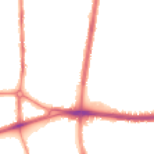
Night-time· 23:00 – 07:00
46.3dB