5 Hatfield Road, Bootle, L20 9EP
About 5 Hatfield Road
5 Hatfield Road is a three-bedroom semi-detached house in Bootle (L20 9EP). It has a recorded floor area of 107 m² (around 1152 sq ft), construction records dating it to 1900-1929 and council tax band C. Tenure is freehold. The latest certificate (June 2022) shows a D (score 64), on the cusp of jumping into the C band. The recommended improvements would lift it to B (score 84), a 2-band jump.
Across 2004–2022, sale prices on this property compounded at 2.7% per year. On a £-per-square-foot basis, the last sale (£226/sq ft) was about 187.8% above the typical sold price in the postcode. Most recent transfer: October 2022 at £260,050. That sale was during the post-pandemic price surge, when transactions cleared materially above pre-2020 trend.
What this property has
Inside
- Bedrooms3
- Bathrooms1
- Dining roomYes
Outside
- Private gardenRear
- DrivewayYes
Building
- TenureFreehold
- RefurbishedYes
Everything you need to know about 5 Hatfield Road
The true value, the hidden risks and the full sale history, in one report.
30-day money-back guarantee

The data behind every report


Energy performance
Recommended upgrades on file would lift this property by multiple EPC bands.
EPC Rating
Planning history
5 Hatfield Road has no planning applications on record.
Notable planning nearby
7applications of note in the surrounding area
We flagged 1 thing worth checking at 5 Hatfield Road
Independent checks surfaced things a buyer would want to understand before offering. The report explains each one in full, with the underlying data and what to ask.
- Signs of HMO activity in the area
30-day money-back guarantee
Sales history & valuation
Latest sale on 5 Hatfield Road was the highest on Land Registry record across the postcode.
£283,000
Modelled from EPC, postcode comparables and a sale-price growth of 2.7% per year over 19 years.
£260,050
Growth on file: 2.7% per year over 19 years.
Sales timeline
25 October 2022Most recent
£260,050
+63.3%over 18 years26 March 2004
£159,200
Median price across the last 5 sales in L20 9EP: £140,000 (2023–2015).
Versus other Hatfield Road homes
5 Hatfield Road outperforms the street on price per m² by a wide margin.
Price per m²
£2,430
Street avg £1,028
Floor Area
107 m²
Street avg 118 m²
Habitable Rooms
5 rooms
Street avg 6 rooms
CO₂ Emissions
4.5 t/year
Street avg 6.5 t/year
Everything you need to know about 5 Hatfield Road
The true value, the hidden risks and the full sale history, in one report.
30-day money-back guarantee
The data behind every report
Similar properties nearby
1 Harrison Drive
L20 9JL
1 Hillside Close
L20 9NT
1 Bedford Villas, 207 Bedford Road
L20 9QB
1 Clare Villas, 4 Clare Road
L20 9QD
1 Edith Villas, Fernhill Road
L20 9HT
1 Fernhill Close
L20 9JR
1 Gonville Road
L20 9LN
1 Downing Road
L20 9LS
The neighbourhood at a glance
Reported crime in the wider district is trending notably upward year-on-year.
Crime
7/mo
Rising year-on-year across the wider district.
Nearest stop
0.1 km
Oxford Road — bus stop.
Closest school
0.2 km
Hillside High School. 41 schools nearby.
Go deeper on the local area
The full report breaks down crime, transport links, schools and air quality in depth.
Road noise across the postcode
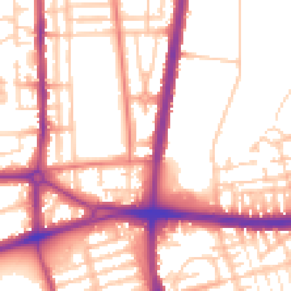
Daytime· 07:00 – 23:00
55.4dB

Night-time· 23:00 – 07:00
46.3dB