25 Librex Close, Bootle, L20 6GG
About 25 Librex Close
25 Librex Close is a three-bedroom semi-detached house in Bootle (L20 6GG). It has a recorded floor area of 90 m² (around 969 sq ft), construction records dating it to 2012 onwards and council tax band B. The latest certificate (September 2024) shows a C (score 70). Earlier certificates rated it B (February 2012); the latest reading is one band lower. Between certificates, lighting went from Good to Very Good; while window efficiency dropped from Very Good to Good. The recommended improvements would push it to B (score 81). Records show the property has been extended at some point in its history.
Most recent transfer was March 2025 at £210,000 — fresh data. At 90 m² it's 19.6% larger than the typical home in the postcode (75 m² median across 16 EPCs). Across 2012–2025, sale prices on this property compounded at 3.6% per year. On a £-per-square-foot basis, the last sale (£217/sq ft) was about 35.1% above the typical sold price in the postcode.
What this property has
Inside
- Bedrooms3
- Bathrooms2
- Dining roomYes
- EnsuiteYes
Outside
- ParkingOff street
Building
- Previously extendedYes
Everything you need to know about 25 Librex Close
The true value, the hidden risks and the full sale history, in one report.
30-day money-back guarantee

The data behind every report


Energy performance
EPC Rating
Property Improvements
Changes detected from historical EPC data
More low energy lighting installed
Planning history
25 Librex Close has no planning applications on record.
Notable planning nearby
1applications of note in the surrounding area
Sales history & valuation
Latest sale on 25 Librex Close was the highest on Land Registry record across the postcode.
£212,000
Modelled from EPC, postcode comparables and a sale-price growth of 3.6% per year over 13 years.
£210,000
Growth on file: 3.6% per year over 13 years.
Sales timeline
28 March 2025Most recent
£210,000
+68.0%over 9 years18 June 2015
£125,000
-5.3%over 3 years12 March 2012
£131,995
Median price across the last 5 sales in L20 6GG: £144,000 (2024–2018).
Versus other Librex Close homes
Price per m² for 25 Librex Close runs comfortably ahead of the street norm.
Price per m²
£2,333
Street avg £1,796
Floor Area
90 m²
Street avg 75 m²
Habitable Rooms
6 rooms
Street avg 5 rooms
CO₂ Emissions
2.9 t/year
Street avg 1.4 t/year
Everything you need to know about 25 Librex Close
The true value, the hidden risks and the full sale history, in one report.
30-day money-back guarantee
The data behind every report
Similar properties nearby
The neighbourhood at a glance
Reported crime in the wider district is trending notably upward year-on-year.
Crime
7/mo
Rising year-on-year across the wider district.
Nearest stop
0.1 km
Havelock Road — bus stop.
Closest school
0.1 km
St Elizabeth's Catholic Primary School. 38 schools nearby.
Go deeper on the local area
The full report breaks down crime, transport links, schools and air quality in depth.
Road noise across the postcode
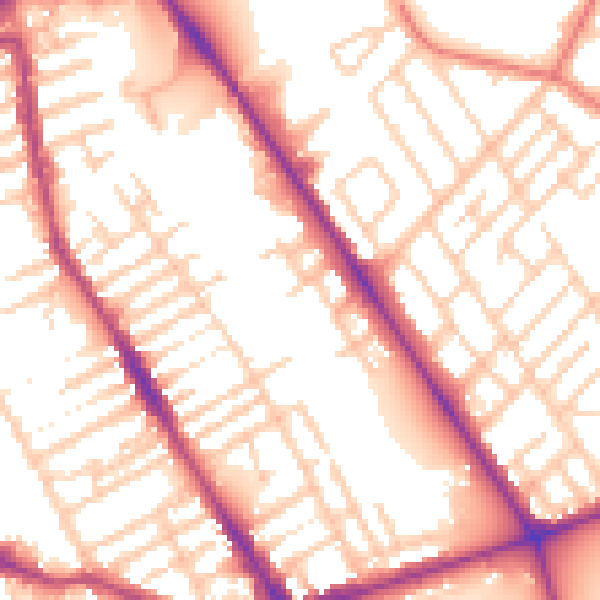
Daytime· 07:00 – 23:00
55.0dB

Night-time· 23:00 – 07:00
45.4dB