17 Librex Close, Bootle, L20 6GG
About 17 Librex Close
17 Librex Close is a three-bedroom detached house in Bootle (L20 6GG). It has a recorded floor area of 93 m² (around 1005 sq ft) and council tax band C. The latest certificate (December 2011) returns a B (score 81), comfortably above the UK average. The latest certificate is from December 2011, so improvements made since then won't be reflected.
At 93 m² it's 24.2% larger than the typical home in the postcode (75 m² median across 16 EPCs). Across 2012–2020, sale prices on this property compounded at 2.3% per year. Today's modelled estimate of £249,000 is 35.3% above the 2020 sale price. On a £-per-square-foot basis, the last sale (£183/sq ft) was about 15% above the typical sold price in the postcode. Sold October 2020 for £184,000.
What this property has
Inside
- Bedrooms3
- Bathrooms2
- Open-plan layoutYes
- Dining roomYes
Outside
- Private gardenYes
- GarageYes
Building
- Heating systemGas
- RefurbishedYes
Everything you need to know about 17 Librex Close
The true value, the hidden risks and the full sale history, in one report.
30-day money-back guarantee

The data behind every report


Energy performance
17 Librex Close's EPC is over a decade old — improvements since won't be reflected.
EPC Expired
This certificate is over 10 years old and is no longer valid.Expired 22 Dec 2021
EPC Rating
Planning history
17 Librex Close has no planning applications on record.
Notable planning nearby
1applications of note in the surrounding area
Sales history & valuation
The latest sale landed in the post-pandemic price surge — useful context when reading the figure.
£249,000
Modelled from EPC, postcode comparables and a sale-price growth of 2.3% per year over 9 years.
£184,000
Growth on file: 2.3% per year over 9 years.
Sales timeline
30 October 2020Most recent
£184,000
+21.9%over 8 years27 January 2012
£151,000
Median price across the last 5 sales in L20 6GG: £144,000 (2025–2018).
Versus other Librex Close homes
17 Librex Close outperforms the street on floor area by a wide margin.
Price per m²
£1,970
Street avg £1,824
Floor Area
93 m²
Street avg 74 m²
CO₂ Emissions
1.6 t/year
Street avg 1.5 t/year
Years Held
6 years
Street avg 10 years
Everything you need to know about 17 Librex Close
The true value, the hidden risks and the full sale history, in one report.
30-day money-back guarantee
The data behind every report
Similar properties nearby
The neighbourhood at a glance
Reported crime in the wider district is trending notably upward year-on-year.
Crime
7/mo
Rising year-on-year across the wider district.
Nearest stop
0.1 km
Havelock Road — bus stop.
Closest school
0.1 km
St Elizabeth's Catholic Primary School. 38 schools nearby.
Go deeper on the local area
The full report breaks down crime, transport links, schools and air quality in depth.
Road noise across the postcode
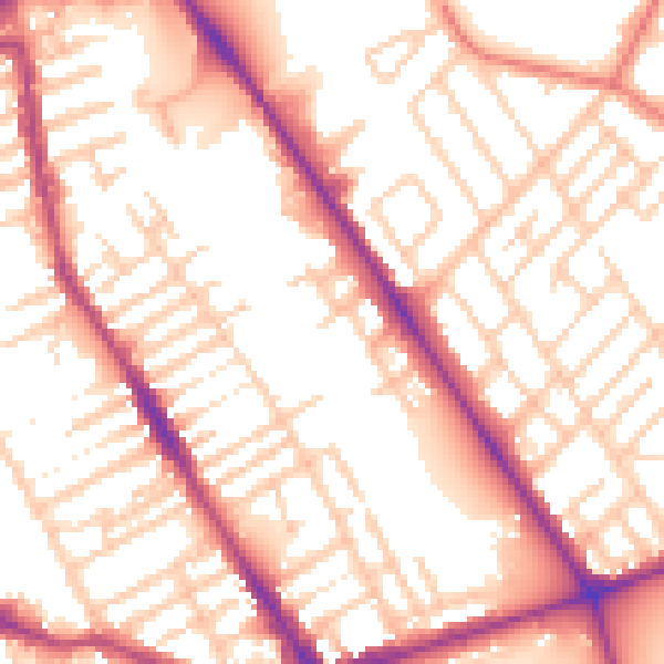
Daytime· 07:00 – 23:00
55.0dB
Night-time· 23:00 – 07:00
45.4dB