13 Mahon Avenue, Bootle, L20 6AP
About 13 Mahon Avenue
13 Mahon Avenue is a three-bedroom semi-detached house in Bootle (L20 6AP). It has a recorded floor area of 92 m² (around 994 sq ft), construction records dating it to 1950-1966 and council tax band A. The latest certificate (October 2011) shows a D (score 63), on the cusp of jumping into the C band. The latest certificate is from October 2011, so improvements made since then won't be reflected.
At 92 m² the property is well over the postcode median (71 m² across 26 EPCs), placing it in the larger end of the local stock. It lags the bulk of the postcode on energy efficiency (less efficient than 88% of similar EPCs). Today's modelled estimate of £159,000 sits 59% above the 2021 sale of £100,000. Last sale on file: £100,000 in August 2021. That sale was during the post-pandemic price surge, when transactions cleared materially above pre-2020 trend.
What this property has
Inside
- Bedrooms3
- Bathrooms1
- Dining roomYes
Outside
- DrivewayYes
Building
- Heating systemGas
- RefurbishedYes
Everything you need to know about 13 Mahon Avenue
The true value, the hidden risks and the full sale history, in one report.
30-day money-back guarantee

The data behind every report


Energy performance
13 Mahon Avenue's EPC is over a decade old — improvements since won't be reflected.
EPC Expired
This certificate is over 10 years old and is no longer valid.Expired 16 Oct 2021
EPC Rating
Planning history
13 Mahon Avenue has no planning applications on record.
Notable planning nearby
1applications of note in the surrounding area
Sales history & valuation
The latest sale landed in the post-pandemic price surge — useful context when reading the figure.
£159,000
Modelled from EPC, postcode comparables.
£100,000
Recorded with HM Land Registry.
Sales timeline
5 August 2021Most recent
£100,000
Median price across the last 5 sales in L20 6AP: £79,950 (2021–2005).
Versus other Mahon Avenue homes
On floor area, 13 Mahon Avenue stands well clear of the street.
EPC Rating
63 (D)
Street avg 72 (C)
Floor Area
92 m²
Street avg 72 m²
CO₂ Emissions
3.9 t/year
Street avg 2.3 t/year
Habitable Rooms
5 rooms
Street avg 4 rooms
Everything you need to know about 13 Mahon Avenue
The true value, the hidden risks and the full sale history, in one report.
30-day money-back guarantee
The data behind every report
Similar properties nearby
The neighbourhood at a glance
Reported crime in the wider district is trending notably upward year-on-year.
Crime
7/mo
Rising year-on-year across the wider district.
Nearest stop
0.1 km
Ainsdale Road — bus stop.
Closest school
0.2 km
King's Leadership Academy Hawthornes. 39 schools nearby.
Go deeper on the local area
The full report breaks down crime, transport links, schools and air quality in depth.
Road noise across the postcode
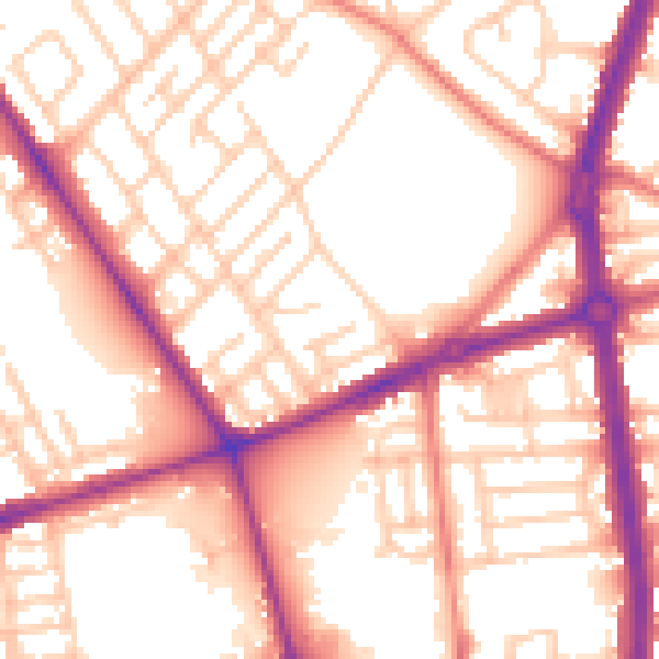
Daytime· 07:00 – 23:00
55.8dB

Night-time· 23:00 – 07:00
46.0dB