40 Alt Road, Bootle, L20 5ES
About 40 Alt Road
40 Alt Road is a three-bedroom mid-terrace house in Bootle (L20 5ES). It has a recorded floor area of 90 m² (around 969 sq ft), construction records dating it to 1900-1929 and council tax band A. The latest certificate (August 2022) shows a C (score 69), just inside the C band. The recommended improvements would push it to B (score 86).
Across 2005–2023, sale prices on this property compounded at 2.9% per year. Today's modelled estimate of £143,000 is 21.2% above the 2023 sale price. On a £-per-square-foot basis, the last sale (£122/sq ft) was about 61% above the typical sold price in the postcode. Most recent transfer: March 2023 at £118,000.
What this property has
Inside
- Bedrooms3
- Bathrooms1
- Open-plan layoutYes
- Dining roomYes
Outside
- Private gardenYes
Building
- RefurbishedYes
Everything you need to know about 40 Alt Road
The true value, the hidden risks and the full sale history, in one report.
30-day money-back guarantee

The data behind every report


Energy performance
EPC Rating
Planning history
40 Alt Road has no planning applications on record.
Notable planning nearby
4applications of note in the surrounding area
We flagged 1 thing worth checking at 40 Alt Road
Independent checks surfaced things a buyer would want to understand before offering. The report explains each one in full, with the underlying data and what to ask.
- Larger development activity nearby
30-day money-back guarantee
Sales history & valuation
40 Alt Road valuation sits well clear of the typical sold price in this postcode.
£143,000
Modelled from EPC, postcode comparables and a sale-price growth of 2.9% per year over 18 years.
£118,000
Growth on file: 2.9% per year over 18 years.
Sales timeline
23 March 2023Most recent
£118,000
+68.6%over 17 years24 March 2005
£70,000
Median price across the last 5 sales in L20 5ES: £122,500 (2025–2022).
Versus other Alt Road homes
40 Alt Road outperforms the street on floor area by a wide margin.
Price per m²
£1,311
Street avg £948
Floor Area
90 m²
Street avg 86 m²
Habitable Rooms
4 rooms
Street avg 5 rooms
CO₂ Emissions
3.3 t/year
Street avg 3.8 t/year
Everything you need to know about 40 Alt Road
The true value, the hidden risks and the full sale history, in one report.
30-day money-back guarantee
The data behind every report
Similar properties nearby
The neighbourhood at a glance
Reported crime in the wider district is trending notably upward year-on-year.
Crime
7/mo
Rising year-on-year across the wider district.
Nearest stop
0.1 km
Hawthorne Road — bus stop.
Closest school
0.1 km
Linacre Primary School. 36 schools nearby.
Go deeper on the local area
The full report breaks down crime, transport links, schools and air quality in depth.
Road noise across the postcode
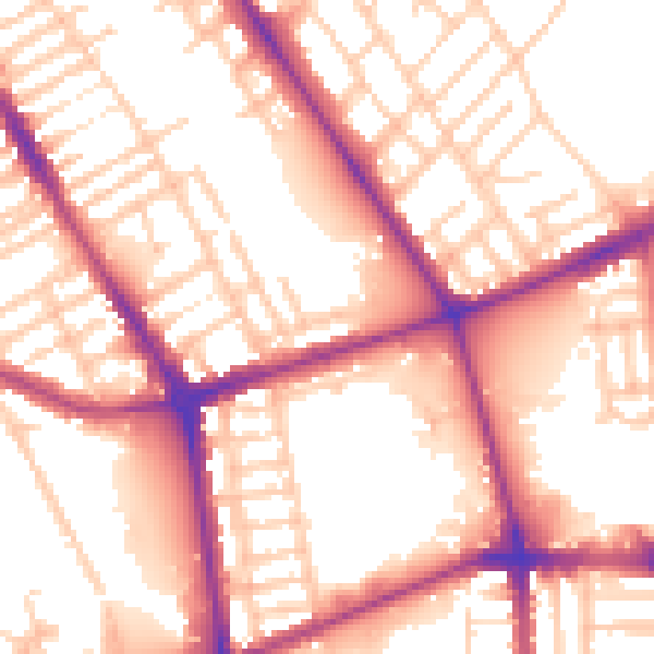
Daytime· 07:00 – 23:00
56.0dB

Night-time· 23:00 – 07:00
47.1dB