17 Lydiate Road, Bootle, L20 5EJ
About 17 Lydiate Road
17 Lydiate Road is a three-bedroom mid-terrace house in Bootle (L20 5EJ). It has a recorded floor area of 89 m² (around 958 sq ft), construction records dating it to 1900-1929 and council tax band A. The latest certificate (September 2021) shows a D (score 62), on the cusp of jumping into the C band. The recommended improvements would lift it to B (score 86), a 2-band jump.
Across 2004–2021, sale prices on this property compounded at 0.9% per year. Today's modelled estimate of £131,000 is 45.6% above the 2021 sale price. On a £-per-square-foot basis, the last sale (£94/sq ft) was about 21.8% above the typical sold price in the postcode. Sold November 2021 for £90,000. That sale was during the post-pandemic price surge, when transactions cleared materially above pre-2020 trend.
What this property has
Inside
- Bedrooms3
- Bathrooms1
- Dining roomYes
Building
- Central heatingYes
- RefurbishedYes
Everything you need to know about 17 Lydiate Road
The true value, the hidden risks and the full sale history, in one report.
30-day money-back guarantee

The data behind every report


Energy performance
Recommended upgrades on file would lift this property by multiple EPC bands.
EPC Rating
Planning history
17 Lydiate Road has no planning applications on record.
Notable planning nearby
4applications of note in the surrounding area
We flagged 1 thing worth checking at 17 Lydiate Road
Independent checks surfaced things a buyer would want to understand before offering. The report explains each one in full, with the underlying data and what to ask.
- Larger development activity nearby
30-day money-back guarantee
Sales history & valuation
17 Lydiate Road's sale-price growth has lagged the wider UK trajectory across its history on file.
£131,000
Modelled from EPC, postcode comparables and a sale-price growth of 0.9% per year over 17 years.
£90,000
Growth on file: 0.9% per year over 17 years.
Sales timeline
19 November 2021Most recent
£90,000
+16.1%over 16 years3 December 2004
£77,500
Median price across the last 5 sales in L20 5EJ: £104,000 (2024–2021).
Versus other Lydiate Road homes
Years Held for 17 Lydiate Road lags the street by a wide margin.
Price per m²
£1,011
Street avg £797
Floor Area
89 m²
Street avg 93 m²
Habitable Rooms
5 rooms
Street avg 5 rooms
CO₂ Emissions
4.2 t/year
Street avg 4.2 t/year
Everything you need to know about 17 Lydiate Road
The true value, the hidden risks and the full sale history, in one report.
30-day money-back guarantee
The data behind every report
Similar properties nearby
The neighbourhood at a glance
Reported crime in the wider district is trending notably upward year-on-year.
Crime
7/mo
Rising year-on-year across the wider district.
Nearest stop
0.1 km
Thornton Road — bus stop.
Closest school
0.1 km
Linacre Primary School. 37 schools nearby.
Go deeper on the local area
The full report breaks down crime, transport links, schools and air quality in depth.
Road noise across the postcode
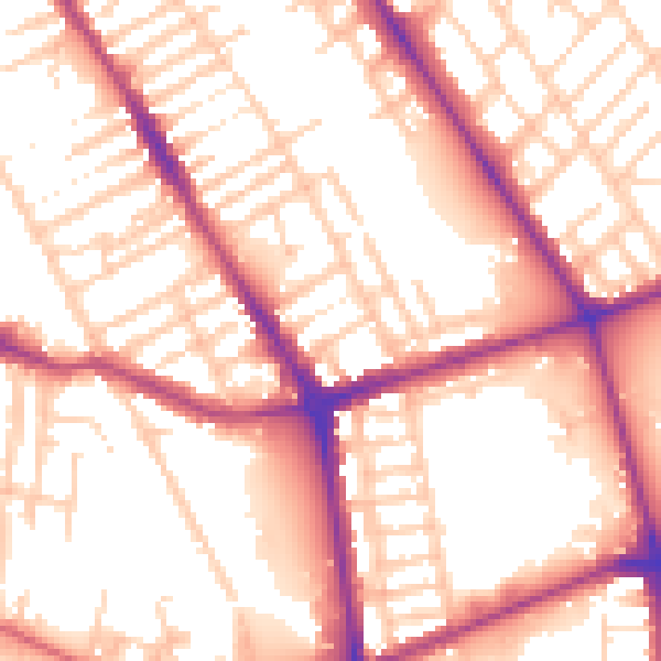
Daytime· 07:00 – 23:00
55.7dB

Night-time· 23:00 – 07:00
46.6dB