13 August Street, Bootle, L20 5BA
About 13 August Street
13 August Street is a three-bedroom mid-terrace house in Bootle (L20 5BA). It has a recorded floor area of 89 m² (around 958 sq ft), construction records dating it to 1900-1929 and council tax band A. The latest certificate (September 2022) shows a C (score 69), just inside the C band. When first surveyed in April 2009 the rating was E, the property has climbed 2 bands since. Between certificates, wall efficiency went from Very Poor to Poor, roof efficiency went from Very Poor to Good and window efficiency went from Average to Good. The recommended improvements would push it to B (score 89).
It hasn't traded since April 2003, a hold of 23 years that's notably long for the area. Today's modelled estimate of £119,000 sits 643.8% above the 2003 sale of £16,000. On a £-per-square-foot basis, the last sale (£17/sq ft) was about 76.2% below the postcode norm.
What this property has
Inside
- Bedrooms3
Everything you need to know about 13 August Street
The true value, the hidden risks and the full sale history, in one report.
30-day money-back guarantee

The data behind every report


Energy performance
EPC Rating
Property Improvements
Changes detected from historical EPC data
Window efficiency improved
Wall insulation improved
Loft insulation installed or upgraded to 250mm+
More low energy lighting installed
Planning history
13 August Street has no planning applications on record.
Notable planning nearby
4applications of note in the surrounding area
We flagged 1 thing worth checking at 13 August Street
Independent checks surfaced things a buyer would want to understand before offering. The report explains each one in full, with the underlying data and what to ask.
- Larger development activity nearby
30-day money-back guarantee
Sales history & valuation
13 August Street's modelled value sits at over four times its earliest registered sale price (2003).
£119,000
Modelled from EPC, postcode comparables.
£16,000
Recorded with HM Land Registry.
Sales timeline
30 April 2003Most recent
£16,000
Median price across the last 5 sales in L20 5BA: £78,500 (2024–2018).
Versus other August Street homes
On price per m², 13 August Street runs well behind the street norm.
Price per m²
£180
Street avg £772
Floor Area
89 m²
Street avg 93 m²
Habitable Rooms
5 rooms
Street avg 5 rooms
CO₂ Emissions
3.3 t/year
Street avg 4.0 t/year
Everything you need to know about 13 August Street
The true value, the hidden risks and the full sale history, in one report.
30-day money-back guarantee
The data behind every report
Similar properties nearby
The neighbourhood at a glance
Rail-style transport is unusually close for this postcode.
Crime
7/mo
Rising year-on-year across the wider district.
Nearest stop
0.1 km
Linacre Lane — bus stop.
Closest school
0.1 km
Linacre Primary School. 36 schools nearby.
Go deeper on the local area
The full report breaks down crime, transport links, schools and air quality in depth.
Road noise across the postcode
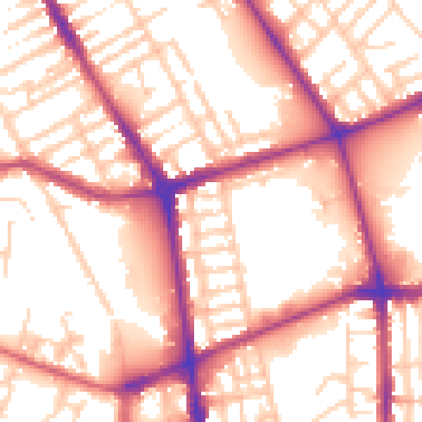
Daytime· 07:00 – 23:00
56.5dB

Night-time· 23:00 – 07:00
47.6dB