55a, Beatrice Street, Bootle, L20 2ED
About 55a
55a is a three-bedroom semi-detached house in Bootle (L20 2ED). It has a recorded floor area of 75 m² (around 807 sq ft), construction records dating it to 1983-1990 and council tax band A. The latest certificate (July 2023) shows a C (score 76), near the top of the C band. The recommended improvements would push it to B (score 88). Other recorded features include a conservatory.
Across 2001–2024, sale prices on this property compounded at 5.8% per year. Today's modelled estimate of £135,000 is 28.6% above the 2024 sale price. On a £-per-square-foot basis, the last sale (£130/sq ft) was about 102.8% above the typical sold price in the postcode. Most recent transfer: August 2024 at £105,000.
What this property has
Inside
- Bedrooms3
- Bathrooms1
- ConservatoryYes
Outside
- Private gardenRear
Building
- RefurbishedYes
Everything you need to know about 55a
The true value, the hidden risks and the full sale history, in one report.
30-day money-back guarantee

The data behind every report


Energy performance
EPC Rating
Planning history
55a has no planning applications on record.
Notable planning nearby
6applications of note in the surrounding area
We flagged 1 thing worth checking at 55a
Independent checks surfaced things a buyer would want to understand before offering. The report explains each one in full, with the underlying data and what to ask.
- Signs of HMO activity in the area
30-day money-back guarantee
Sales history & valuation
Latest sale on 55a was the highest on Land Registry record across the postcode.
£135,000
Modelled from EPC, postcode comparables and a sale-price growth of 5.8% per year over 23 years.
£105,000
Growth on file: 5.8% per year over 23 years.
Sales timeline
21 August 2024Most recent
£105,000
+268.4%over 23 years20 August 2001
£28,500
Median price across the last 5 sales in L20 2ED: £65,000 (2024–2023).
Versus other Beatrice Street homes
55a outperforms the street on price per m² by a wide margin.
Price per m²
£1,400
Street avg £757
Floor Area
75 m²
Street avg 84 m²
Habitable Rooms
5 rooms
Street avg 4 rooms
CO₂ Emissions
2.0 t/year
Street avg 3.6 t/year
Everything you need to know about 55a
The true value, the hidden risks and the full sale history, in one report.
30-day money-back guarantee
The data behind every report
Similar properties nearby
The neighbourhood at a glance
Rail-style transport is unusually close for this postcode.
Crime
7/mo
Rising year-on-year across the wider district.
Nearest stop
0.1 km
Beatrice Street — bus stop.
Closest school
0.3 km
Hugh Baird College. 35 schools nearby.
Go deeper on the local area
The full report breaks down crime, transport links, schools and air quality in depth.
Road noise across the postcode
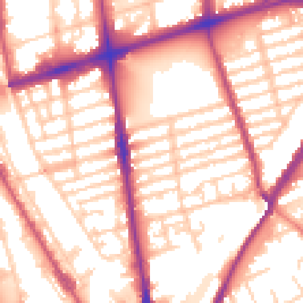
Daytime· 07:00 – 23:00
56.4dB

Night-time· 23:00 – 07:00
47.9dB