4 Alexandra Drive, Bootle, L20 0EF
About 4 Alexandra Drive
4 Alexandra Drive is a semi-detached house in Bootle (L20 0EF). It has a recorded floor area of 253 m² (around 2723 sq ft), construction records dating it to before 1900 and council tax band C. The latest certificate (October 2016) shows an E (score 42), well below the UK norm with real room to improve. When first surveyed in September 2011 the rating was G, the property has climbed 2 bands since. Between certificates, window efficiency went from Very Poor to Poor, hot-water efficiency went from Very Poor to Good and main heating went from Average to Good; while lighting dropped from Good to Very Poor. The recommended improvements would lift it to C (score 74), a 2-band jump.
Today's modelled estimate of £229,000 sits 169.4% above the 2012 sale of £85,000. On a £-per-square-foot basis, the last sale (£31/sq ft) was about 52.7% below the postcode norm. At 253 m² it's 21.9% larger than the typical home in the postcode (208 m² median across 18 EPCs). 14 years since the last transfer (March 2012).
Everything you need to know about 4 Alexandra Drive
The true value, the hidden risks and the full sale history, in one report.
30-day money-back guarantee

The data behind every report


Energy performance
4 Alexandra Drive's carbon output runs well above what efficient homes in the postcode produce.
EPC Rating
Property Improvements
Changes detected from historical EPC data
Heating controls upgraded for better temperature management
Hot water system upgraded
Wall insulation improved
Low energy lighting percentage decreased
Single glazing replaced with double or better glazing
Planning history
4 Alexandra Drive has no planning applications on record.
The full report still covers planning activity across the surrounding area.
Sales history & valuation
4 Alexandra Drive valuation sits well clear of the typical sold price in this postcode.
£229,000
Modelled from EPC, postcode comparables.
£85,000
Recorded with HM Land Registry.
Sales timeline
9 March 2012Most recent
£85,000
Median price across the last 5 sales in L20 0EF: £230,000 (2025–2016).
Nearby sales in L20 0EF
Versus other Alexandra Drive homes
On epc rating, 4 Alexandra Drive runs well behind the street norm.
Price per m²
£336
Street avg £954
Floor Area
253 m²
Street avg 215 m²
Habitable Rooms
6 rooms
Street avg 8 rooms
CO₂ Emissions
15.8 t/year
Street avg 10.4 t/year
Everything you need to know about 4 Alexandra Drive
The true value, the hidden risks and the full sale history, in one report.
30-day money-back guarantee
The data behind every report
Similar properties nearby
The neighbourhood at a glance
Rail-style transport is unusually close for this postcode.
Crime
7/mo
Rising year-on-year across the wider district.
Nearest stop
0.2 km
Alexandra Drive — bus stop.
Closest school
0.7 km
Springwell Park Community Primary School. 41 schools nearby.
Go deeper on the local area
The full report breaks down crime, transport links, schools and air quality in depth.
Road noise across the postcode
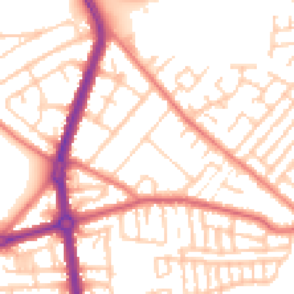
Daytime· 07:00 – 23:00
53.1dB

Night-time· 23:00 – 07:00
42.5dB