35 Moss Lane, Bootle, L20 0EA
About 35 Moss Lane
35 Moss Lane is a three-bedroom semi-detached house in Bootle (L20 0EA). It has a recorded floor area of 86 m² (around 926 sq ft), construction records dating it to 1930-1949 and council tax band B. The latest certificate (September 2013) shows a D (score 62), on the cusp of jumping into the C band. The recommended improvements would lift it to B (score 87), a 2-band jump. The latest certificate is from September 2013, so improvements made since then won't be reflected.
Across 1995–2023, sale prices on this property compounded at 6.1% per year. Today's modelled estimate of £197,000 is 12.6% above the 2023 sale price. On a £-per-square-foot basis, the last sale (£189/sq ft) was about 67.9% above the typical sold price in the postcode. Most recent transfer: June 2023 at £175,000.
What this property has
Inside
- Bedrooms3
- Bathrooms1
Everything you need to know about 35 Moss Lane
The true value, the hidden risks and the full sale history, in one report.
30-day money-back guarantee

The data behind every report


Energy performance
Recommended upgrades on file would lift this property by multiple EPC bands.
EPC Expired
This certificate is over 10 years old and is no longer valid.Expired 10 Sept 2023
EPC Rating
Planning history
35 Moss Lane has no planning applications on record.
The full report still covers planning activity across the surrounding area.
Sales history & valuation
Latest sale on 35 Moss Lane was the highest on Land Registry record across the postcode.
£197,000
Modelled from EPC, postcode comparables and a sale-price growth of 6.1% per year over 28 years.
£175,000
Growth on file: 6.1% per year over 28 years.
Sales timeline
15 June 2023Most recent
£175,000
+52.2%over 15 years19 August 2007
£115,000
+40.2%over 1 year16 May 2006
£82,000
+49.1%over 4 years9 November 2001
£55,000
+17.6%over 2 years19 April 1999
£46,750
+39.6%over 3 years18 June 1995
£33,500
Median price across the last 5 sales in L20 0EA: £117,000 (2025–2018).
Versus other Moss Lane homes
On price per m², 35 Moss Lane stands well clear of the street.
Price per m²
£2,035
Street avg £1,194
Floor Area
86 m²
Street avg 102 m²
Habitable Rooms
4 rooms
Street avg 6 rooms
CO₂ Emissions
3.9 t/year
Street avg 5.0 t/year
Everything you need to know about 35 Moss Lane
The true value, the hidden risks and the full sale history, in one report.
30-day money-back guarantee
The data behind every report
Similar properties nearby
The neighbourhood at a glance
Reported crime in the wider district is trending notably upward year-on-year.
Crime
7/mo
Rising year-on-year across the wider district.
Nearest stop
0.1 km
Moss Lane — bus stop.
Closest school
0.6 km
King's Leadership Academy Hawthornes. 40 schools nearby.
Go deeper on the local area
The full report breaks down crime, transport links, schools and air quality in depth.
Road noise across the postcode
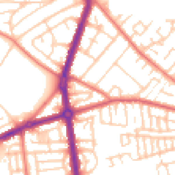
Daytime· 07:00 – 23:00
53.5dB

Night-time· 23:00 – 07:00
42.8dB