3 Clemmey Drive, Bootle, L20 0DT
About 3 Clemmey Drive
3 Clemmey Drive is a three-bedroom semi-detached house in Bootle (L20 0DT). It has a recorded floor area of 79 m² (around 850 sq ft), construction records dating it to 1950-1966 and council tax band A. The latest certificate (November 2017) shows a C (score 69), just inside the C band. The recommended improvements would push it to B (score 83).
Today's modelled estimate of £181,000 sits 52.7% above the 2018 sale of £118,500. On a £-per-square-foot basis, the last sale (£139/sq ft) was about 57% above the typical sold price in the postcode. One planning record on file: an extension approved in 2003. Past consents include an extension, meaningful when judging how the property has evolved. Its energy rating outperforms most of the postcode (better than 70% of similar EPCs). Most recent transfer: June 2018 at £118,500.
What this property has
Inside
- Bedrooms3
- Bathrooms1
Everything you need to know about 3 Clemmey Drive
The true value, the hidden risks and the full sale history, in one report.
30-day money-back guarantee

The data behind every report


Energy performance
EPC Rating
Planning history
3 Clemmey Drive has an approved single-storey rear extension on the planning record.
- Nov 2003ExtensionFullIn report
Extension: Single storey · Rear of property
Erection of a single storey extension at the rear of the dwellinghouse.
- Reference
- S/2003/0937
What's in 3 Clemmey Drive, Bootle, L20 0DT's planning history?
Refusals, disputes and full decisions on this property and nearby, in the report.
Sales history & valuation
Latest sale on 3 Clemmey Drive was the highest on Land Registry record across the postcode.
£181,000
Modelled from EPC, postcode comparables.
£118,500
Recorded with HM Land Registry.
Sales timeline
7 June 2018Most recent
£118,500
Median price across the last 5 sales in L20 0DT: £90,000 (2025–2019).
Versus other Clemmey Drive homes
On years held, 3 Clemmey Drive stands well clear of the street.
Price per m²
£1,500
Street avg £1,433
Floor Area
79 m²
Street avg 75 m²
Habitable Rooms
5 rooms
Street avg 5 rooms
CO₂ Emissions
2.7 t/year
Street avg 3.2 t/year
Everything you need to know about 3 Clemmey Drive
The true value, the hidden risks and the full sale history, in one report.
30-day money-back guarantee
The data behind every report
Similar properties nearby
The neighbourhood at a glance
Reported crime in the wider district is trending notably upward year-on-year.
Crime
7/mo
Rising year-on-year across the wider district.
Nearest stop
0.1 km
Ballantyne Grove — bus stop.
Closest school
0.5 km
King's Leadership Academy Hawthornes. 39 schools nearby.
Go deeper on the local area
The full report breaks down crime, transport links, schools and air quality in depth.
Road noise across the postcode
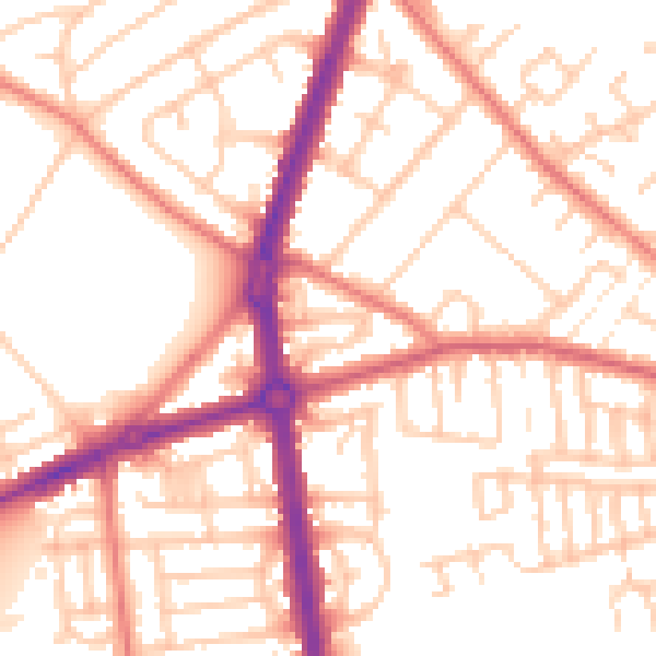
Daytime· 07:00 – 23:00
53.5dB

Night-time· 23:00 – 07:00
42.9dB