73 Keir Hardie Avenue, Bootle, L20 0DN
About 73 Keir Hardie Avenue
73 Keir Hardie Avenue is a three-bedroom semi-detached house in Bootle (L20 0DN). It has a recorded floor area of 88 m² (around 947 sq ft), construction records dating it to 1950-1966 and council tax band B. The latest certificate (March 2021) shows a D (score 67), on the cusp of jumping into the C band. The recommended improvements would lift it to B (score 83), a 2-band jump.
One planning record on file: an extension approved in 2000. Past consents include an extension, meaningful when judging how the property has evolved. At 88 m² it's 17.4% larger than the typical home in the postcode (75 m² median across 17 EPCs). Today's modelled estimate of £174,000 is 32.8% above the 2021 sale price. Last sale on file: £131,000 in July 2021. That sale was during the post-pandemic price surge, when transactions cleared materially above pre-2020 trend.
What this property has
Inside
- Bedrooms3
- Bathrooms1
Outside
- Private gardenFront and rear
Building
- Heating systemGas
Everything you need to know about 73 Keir Hardie Avenue
The true value, the hidden risks and the full sale history, in one report.
30-day money-back guarantee

The data behind every report


Energy performance
Recommended upgrades on file would lift this property by multiple EPC bands.
EPC Rating
Planning history
73 Keir Hardie Avenue has an approved single-storey rear extension on the planning record.
- Jun 2000ExtensionFullIn report
Extension: Single storey · Rear of property
Erection of a first floor extension at the rear of the dwellinghouse
- Reference
- S/2000/0280
What's in 73 Keir Hardie Avenue, Bootle, L20 0DN's planning history?
Refusals, disputes and full decisions on this property and nearby, in the report.
Sales history & valuation
The latest sale landed in the post-pandemic price surge — useful context when reading the figure.
£174,000
Modelled from EPC, postcode comparables.
£131,000
Recorded with HM Land Registry.
Sales timeline
13 July 2021Most recent
£131,000
Median price across the last 5 sales in L20 0DN: £124,000 (2024–2019).
Nearby sales in L20 0DN
Versus other Keir Hardie Avenue homes
On floor area, 73 Keir Hardie Avenue stands well clear of the street.
Price per m²
£1,489
Street avg £1,533
Floor Area
88 m²
Street avg 75 m²
Habitable Rooms
4 rooms
Street avg 4 rooms
CO₂ Emissions
3.5 t/year
Street avg 4.0 t/year
Everything you need to know about 73 Keir Hardie Avenue
The true value, the hidden risks and the full sale history, in one report.
30-day money-back guarantee
The data behind every report
Similar properties nearby
The neighbourhood at a glance
Rail-style transport is unusually close for this postcode.
Crime
7/mo
Rising year-on-year across the wider district.
Nearest stop
0.1 km
Keir Hardie Avenue — bus stop.
Closest school
0.3 km
St Monica's Catholic Primary School. 38 schools nearby.
Go deeper on the local area
The full report breaks down crime, transport links, schools and air quality in depth.
Road noise across the postcode
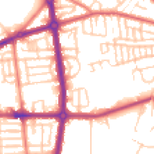
Daytime· 07:00 – 23:00
53.8dB

Night-time· 23:00 – 07:00
44.1dB