512 Southport Road, Bootle, L20 0DG
About 512 Southport Road
512 Southport Road is an end-of-terrace house in Bootle (L20 0DG). It has a recorded floor area of 92 m² (around 990 sq ft), construction records dating it to 1950-1966 and council tax band A. The latest certificate (September 2022) shows a D (score 57), a step below the typical UK home. When first surveyed in March 2016 the rating was F, the property has climbed 2 bands since. Between certificates, wall efficiency went from Very Poor to Good; while hot-water efficiency dropped from Poor to Very Poor and lighting dropped from Very Good to Average. The recommended improvements would lift it to B (score 87), a 2-band jump.
Across 2023–2023, sale prices on this property compounded at 68.4% per year. Today's modelled estimate of £129,000 is 34.4% above the 2023 sale price. On a £-per-square-foot basis, the last sale (£97/sq ft) was about 16.5% below the postcode norm. Most recent transfer: August 2023 at £96,000.
Everything you need to know about 512 Southport Road
The true value, the hidden risks and the full sale history, in one report.
30-day money-back guarantee

The data behind every report


Energy performance
Recommended upgrades on file would lift this property by multiple EPC bands.
EPC Rating
Property Improvements
Changes detected from historical EPC data
Heating controls changed
Hot water system changed
Wall insulation improved
Low energy lighting percentage decreased
Planning history
512 Southport Road has no planning applications on record.
The full report still covers planning activity across the surrounding area.
We flagged 1 thing worth checking at 512 Southport Road
Independent checks surfaced things a buyer would want to understand before offering. The report explains each one in full, with the underlying data and what to ask.
- Recent ownership pattern worth a look
30-day money-back guarantee
Sales history & valuation
512 Southport Road changed hands twice within eighteen months — unusual for the area.
£129,000
Modelled from EPC, postcode comparables and a sale-price growth of 68.4% per year over 1 year.
£96,000
Growth on file: 68.4% per year over 1 year.
Sales timeline
17 August 2023Most recent
£96,000
+68.4%30 March 2023
£57,000
Median price across the last 5 sales in L20 0DG: £115,000 (2025–2018).
Nearby sales in L20 0DG
Versus other Southport Road homes
512 Southport Road is notably below the street on price per m².
Price per m²
£1,043
Street avg £1,271
Floor Area
92 m²
Street avg 88 m²
Habitable Rooms
4 rooms
Street avg 5 rooms
CO₂ Emissions
4.3 t/year
Street avg 3.7 t/year
Everything you need to know about 512 Southport Road
The true value, the hidden risks and the full sale history, in one report.
30-day money-back guarantee
The data behind every report
Similar properties nearby
The neighbourhood at a glance
Reported crime in the wider district is trending notably upward year-on-year.
Crime
7/mo
Rising year-on-year across the wider district.
Nearest stop
0.0 km
Marsh Avenue — bus stop.
Closest school
0.5 km
St Monica's Catholic Primary School. 40 schools nearby.
Go deeper on the local area
The full report breaks down crime, transport links, schools and air quality in depth.
Road noise across the postcode
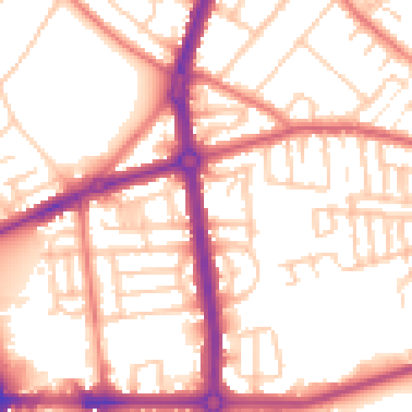
Daytime· 07:00 – 23:00
54.4dB

Night-time· 23:00 – 07:00
44.5dB