6 Spence Avenue, Bootle, L20 0BB
About 6 Spence Avenue
6 Spence Avenue is a mid-terrace house in Bootle (L20 0BB). It has a recorded floor area of 87 m² (around 936 sq ft), construction records dating it to 1930-1949 and council tax band A. The latest certificate (February 2015) shows a C (score 73). When first surveyed in October 2013 the rating was D, the property has climbed 1 band since. Between certificates, hot-water efficiency went from Average to Good; while window efficiency dropped from Good to Average and lighting dropped from Average to Very Poor. The recommended improvements would push it to B (score 87). The latest certificate is from February 2015, so improvements made since then won't be reflected.
Today's modelled estimate of £128,000 sits 153.5% above the 2014 sale of £50,500. On a £-per-square-foot basis, the last sale (£54/sq ft) was about 33.5% above the typical sold price in the postcode. At 87 m² it's 19.2% larger than the typical home in the postcode (73 m² median across 12 EPCs). On the market in October 2014 and unlisted since — roughly 12 years.
Everything you need to know about 6 Spence Avenue
The true value, the hidden risks and the full sale history, in one report.
30-day money-back guarantee

The data behind every report


Energy performance
6 Spence Avenue's EPC is over a decade old — improvements since won't be reflected.
EPC Expired
This certificate is over 10 years old and is no longer valid.Expired 12 Feb 2025
EPC Rating
Property Improvements
Changes detected from historical EPC data
Hot water system upgraded
More low energy lighting installed
Heating controls upgraded for better temperature management
Cavity wall insulation installed
Low energy lighting percentage decreased
Planning history
6 Spence Avenue has no planning applications on record.
The full report still covers planning activity across the surrounding area.
Sales history & valuation
£128,000
Modelled from EPC, postcode comparables.
£50,500
Recorded with HM Land Registry.
Sales timeline
14 October 2014Most recent
£50,500
Median price across the last 3 sales in L20 0BB: £31,500 (2012–2002).
Versus other Spence Avenue homes
6 Spence Avenue outperforms the street on epc rating by a wide margin.
EPC Rating
73 (C)
Street avg 63 (D)
Floor Area
87 m²
Street avg 77 m²
CO₂ Emissions
2.5 t/year
Street avg 3.6 t/year
Habitable Rooms
5 rooms
Street avg 4 rooms
Everything you need to know about 6 Spence Avenue
The true value, the hidden risks and the full sale history, in one report.
30-day money-back guarantee
The data behind every report
Similar properties nearby
The neighbourhood at a glance
Reported crime in the wider district is trending notably upward year-on-year.
Crime
7/mo
Rising year-on-year across the wider district.
Nearest stop
0.1 km
Spence Avenue — bus stop.
Closest school
0.4 km
King's Leadership Academy Hawthornes. 40 schools nearby.
Go deeper on the local area
The full report breaks down crime, transport links, schools and air quality in depth.
Road noise across the postcode
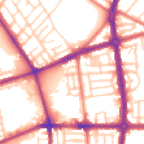
Daytime· 07:00 – 23:00
56.5dB

Night-time· 23:00 – 07:00
47.0dB