28 High Street, Wavertree, Liverpool, L15 8HG
About 28 High Street
28 High Street is a three-bedroom mid-terrace house in Wavertree, Liverpool, Liverpool (L15 8HG). It has a recorded floor area of 189 m² (around 2034 sq ft), construction records dating it to before 1900 and council tax band D. It is a listed building, which means external alterations are tightly controlled but it may qualify for heritage tax reliefs. Other recorded features include a basement. Period features are noted in the property record. The latest certificate (March 2016) shows an E (score 51), well below the UK norm with real room to improve. Earlier certificates rated it D (June 2013); the latest reading is one band lower. Between certificates, roof efficiency went from Very Poor to Poor; while lighting dropped from Good to Average. The recommended improvements would lift it to C (score 75), a 2-band jump. The latest certificate is from March 2016, so improvements made since then won't be reflected.
At 189 m² the property is well over the postcode median (82 m² across 25 EPCs), placing it in the larger end of the local stock. On energy efficiency it sits in the bottom 10% of properties in this postcode — significant headroom for improvement. Sold August 2018 for £213,500. Across the public record there are 4 sales, relatively high churn for a single property. Across 2000–2018, sale prices on this property compounded at 7.4% per year. Today's modelled estimate of £290,000 is 35.8% above the 2018 sale price. On a £-per-square-foot basis, the last sale (£105/sq ft) was about 24.4% below the postcode norm.
Know exactly what you're buying at 28 High Street
Before you offer, see what the listing won't tell you, the true value, the red flags and the full history.
Already flagged here
Valuation
against the asking price
Risks
planning & flood
Sold prices
similar homes nearby
Trends
the local market
What this property has
Inside
- Bedrooms3
- Bathrooms1
- Open-plan layoutYes
- BasementYes
Building
- Listed buildingYes
- Period featuresYes
- RefurbishedYes
Energy performance
28 High Street sits at the bottom of the postcode for energy efficiency — meaningful headroom to improve.
EPC Expired
This certificate is over 10 years old and is no longer valid.Expired 12 Mar 2026
EPC Rating
Property Improvements
Changes detected from historical EPC data
Roof insulation improved
Low energy lighting percentage decreased
Planning history
28 High Street has no planning applications on record.
Notable planning nearby
4applications of note in the surrounding area
We flagged 1 thing worth checking at 28 High Street
Independent checks surfaced things a buyer would want to understand before offering. The report explains each one in full, with the underlying data and what to ask.
- Signs of HMO activity in the area
30-day money-back guarantee
Sales history & valuation
Sale price has grown by over 3x since 2000.
£290,000
Modelled from EPC, postcode comparables and a sale-price growth of 7.4% per year over 18 years.
£213,500
Growth on file: 7.4% per year over 18 years.
Sales timeline
19 August 2018Most recent
£213,500
+12.4%over 4 years3 July 2014
£190,000
+103.2%over 12 years9 August 2001
£93,500
+57.1%over 10 months28 September 2000
£59,500
Median price across the last 5 sales in L15 8HG: £227,500 (2024–2016).
Nearby sales in L15 8HG
32 High Street, Wavertree, Liverpool, L15 8HG
Sold Mar 2024
£230,00030 High Street, Wavertree, Liverpool, L15 8HG
Sold Nov 2022
£310,00026 High Street, Wavertree, Liverpool, L15 8HG
Sold Apr 2021
£160,0006a, High Street, Wavertree, Liverpool, L15 8HG
Sold Nov 2020
£139,00024 High Street, Wavertree, Liverpool, L15 8HG
Sold Feb 2016
£227,500
Everything we know about 28 High Street, in one report
What it's really worth, what could be wrong, and the planning, sales and area data in full.
What we flagged
- Signs of HMO activity in the area

Versus other High Street homes
On habitable rooms, 28 High Street stands well clear of the street.
Price per m²
£1,130
Street avg £3,249
Floor Area
189 m²
Street avg 167 m²
Habitable Rooms
9 rooms
Street avg 7 rooms
CO₂ Emissions
9.4 t/year
Street avg 8.8 t/year
Similar properties nearby
1 Halsnead Close
L15 8GA
1 Abbeygate Apartments, Wavertree Gardens
L15 8HB
1 Millstead Road
L15 8LE
1 Frederick Grove
L15 8HW
1 North Drive, Wavertree
L15 8JE
1 Albert Grove, Wavertree
L15 8HR
1 Chestnut Grove, Wavertree
L15 8HS
1 Larch Grove
L15 8AH
The neighbourhood at a glance
Rail-style transport is unusually close for this postcode.
Crime
6/mo
Rising year-on-year across the wider district.
Nearest stop
0.1 km
Grove Street — bus stop.
Closest school
0.2 km
Wavertree Church of England School. 50 schools nearby.
Go deeper on the local area
The full report breaks down crime, transport links, schools and air quality in depth.
Road noise across the postcode
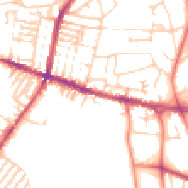
Daytime· 07:00 – 23:00
51.1dB

Night-time· 23:00 – 07:00
40.4dB