41 Fieldway, Wavertree, Liverpool, L15 7LU
About 41 Fieldway
41 Fieldway is a three-bedroom mid-terrace house in Wavertree, Liverpool, Liverpool (L15 7LU). It has a recorded floor area of 107 m² (around 1152 sq ft), construction records dating it to 1900-1929 and council tax band C. Tenure is freehold. The latest certificate (February 2024) shows a C (score 69), just inside the C band. When first surveyed in July 2009 the rating was D, the property has climbed 1 band since. Between certificates, wall efficiency went from Very Poor to Poor, window efficiency went from Poor to Average and lighting went from Good to Very Good; while hot-water efficiency dropped from Very Good to Good and main heating dropped from Very Good to Good. The recommended improvements would push it to B (score 83). Other recorded features include outbuildings. Period features are noted in the property record.
9 planning records sit against the property, 5 approved, 4 refused. Past consents include a loft conversion and tree works, meaningful when judging how the property has evolved. Its energy rating outperforms most of the postcode (better than 83% of similar EPCs). Across 2014–2024, sale prices on this property compounded at 5.3% per year. On a £-per-square-foot basis, the last sale (£313/sq ft) was about 65.4% above the typical sold price in the postcode. Sold November 2024 for £360,000.
Know exactly what you're buying at 41 Fieldway
Before you offer, see what the listing won't tell you, the true value, the red flags and the full history.
Valuation
against the asking price
Risks
planning & flood
Sold prices
similar homes nearby
Trends
the local market
What this property has
Inside
- Bedrooms3
- Bathrooms1
- Open-plan layoutYes
- Dining roomYes
- CloakroomYes
- EnsuiteYes
Outside
- Private gardenRear
- DrivewayYes
- Summer houseYes
- OutbuildingsYes
Building
- TenureFreehold
- Period featuresYes
Energy performance
EPC Rating
Property Improvements
Changes detected from historical EPC data
Hot water efficiency decreased
Windows upgraded, improving insulation
Wall insulation improved
More low energy lighting installed
Planning history
41 Fieldway has been through 5 approved planning applications — a well-evolved property.
- Jul 2022Loft ConversionFullIn report
To install 2 no. rooflights to rear roof plane of property, and install new window to rear gable elevation, in conjunction with loft conversion works
- Documents
- 4 docs on file
- Reference
- 21H/3580
- Jan 2021Tree WorksTreesIn report
To carry out tree works
- Documents
- 9 docs on file
- Reference
- PL/INV/2877/20
What's in 41 Fieldway, Wavertree, Liverpool, L15 7LU's planning history?
7 more on this property, plus refusals, disputes and full decisions nearby, in the report.
Sales history & valuation
41 Fieldway valuation sits well clear of the typical sold price in this postcode.
£371,000
Modelled from EPC, postcode comparables and a sale-price growth of 5.3% per year over 11 years.
£360,000
Growth on file: 5.3% per year over 11 years.
Sales timeline
15 November 2024Most recent
£360,000
+73.0%over 10 years13 April 2014
£208,100
Median price across the last 5 sales in L15 7LU: £280,000 (2025–2023).
Nearby sales in L15 7LU
3 Fieldway, Wavertree, Liverpool, L15 7LU
Sold Jun 2025
£280,00055 Fieldway, Wavertree, Liverpool, L15 7LU
Sold Aug 2024
£300,00054 Fieldway, Wavertree, Liverpool, L15 7LU
Sold Jun 2024
£265,0009 Fieldway, Wavertree, Liverpool, L15 7LU
Sold Mar 2023
£355,50042 Fieldway, Wavertree, Liverpool, L15 7LU
Sold Nov 2022
£420,000
Everything we know about 41 Fieldway, in one report
What it's really worth, what could be wrong, and the planning, sales and area data in full.
- Am I paying too much?
- Is something wrong with it?
- Is the agent's story true?
- Will it hold its value?

Versus other Fieldway homes
Years Held for 41 Fieldway lags the street by a wide margin.
Price per m²
£3,364
Street avg £2,485
Floor Area
107 m²
Street avg 100 m²
Habitable Rooms
5 rooms
Street avg 6 rooms
CO₂ Emissions
3.9 t/year
Street avg 5.0 t/year
Similar properties nearby
The neighbourhood at a glance
Rail-style transport is unusually close for this postcode.
Crime
6/mo
Rising year-on-year across the wider district.
Nearest stop
0.1 km
Queens Drive — bus stop.
Closest school
0.3 km
Christ The King Catholic Primary School. 55 schools nearby.
Go deeper on the local area
The full report breaks down crime, transport links, schools and air quality in depth.
Road noise across the postcode
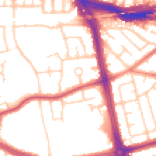
Daytime· 07:00 – 23:00
53.4dB

Night-time· 23:00 – 07:00
44.5dB