3 Fieldway, Wavertree, Liverpool, L15 7LU
About 3 Fieldway
3 Fieldway is a three-bedroom mid-terrace house in Wavertree, Liverpool, Liverpool (L15 7LU). It has a recorded floor area of 84 m² (around 904 sq ft), construction records dating it to 1900-1929 and council tax band C. The latest certificate (October 2024) shows a C (score 70). The recommended improvements would push it to B (score 88).
A recent sale: £280,000 in June 2025. Its energy rating outperforms most of the postcode (better than 83% of similar EPCs). Across 2024–2025, sale prices on this property compounded at 45.9% per year. On a £-per-square-foot basis, the last sale (£310/sq ft) was about 63.9% above the typical sold price in the postcode.
Know exactly what you're buying at 3 Fieldway
Before you offer, see what the listing won't tell you, the true value, the red flags and the full history.
Already flagged here
Valuation
against the asking price
Risks
planning & flood
Sold prices
similar homes nearby
Trends
the local market
What this property has
Inside
- Bedrooms3
- Bathrooms1
Energy performance
EPC Rating
Planning history
3 Fieldway has no planning applications on record.
The full report still covers planning activity across the surrounding area.
We flagged 1 thing worth checking at 3 Fieldway
Independent checks surfaced things a buyer would want to understand before offering. The report explains each one in full, with the underlying data and what to ask.
- Recent ownership pattern worth a look
30-day money-back guarantee
Sales history & valuation
3 Fieldway changed hands twice within eighteen months — unusual for the area.
£293,000
Modelled from EPC, postcode comparables and a sale-price growth of 45.9% per year over 1 year.
£280,000
Growth on file: 45.9% per year over 1 year.
Sales timeline
30 June 2025Most recent
£280,000
+75.0%over 1 year6 January 2024
£160,000
Median price across the last 5 sales in L15 7LU: £355,500 (2024–2022).
Nearby sales in L15 7LU
41 Fieldway, Wavertree, Liverpool, L15 7LU
Sold Nov 2024
£360,00055 Fieldway, Wavertree, Liverpool, L15 7LU
Sold Aug 2024
£300,00054 Fieldway, Wavertree, Liverpool, L15 7LU
Sold Jun 2024
£265,0009 Fieldway, Wavertree, Liverpool, L15 7LU
Sold Mar 2023
£355,50042 Fieldway, Wavertree, Liverpool, L15 7LU
Sold Nov 2022
£420,000
Everything we know about 3 Fieldway, in one report
What it's really worth, what could be wrong, and the planning, sales and area data in full.
What we flagged
- Recent ownership pattern worth a look

Versus other Fieldway homes
3 Fieldway is notably below the street on years held.
Price per m²
£3,333
Street avg £2,487
Floor Area
84 m²
Street avg 101 m²
Habitable Rooms
5 rooms
Street avg 6 rooms
CO₂ Emissions
3.0 t/year
Street avg 5.0 t/year
Similar properties nearby
The neighbourhood at a glance
Rail-style transport is unusually close for this postcode.
Crime
6/mo
Rising year-on-year across the wider district.
Nearest stop
0.1 km
Queens Drive — bus stop.
Closest school
0.3 km
Christ The King Catholic Primary School. 55 schools nearby.
Go deeper on the local area
The full report breaks down crime, transport links, schools and air quality in depth.
Road noise across the postcode
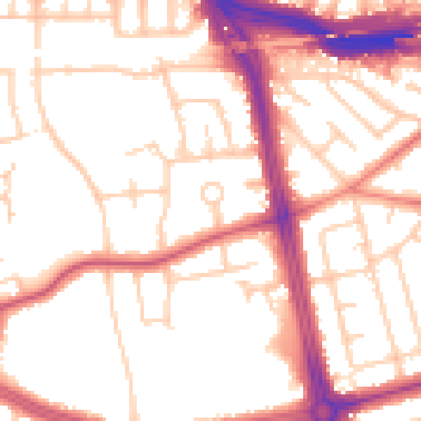
Daytime· 07:00 – 23:00
53.4dB

Night-time· 23:00 – 07:00
44.5dB