5 Southway, Liverpool, L15 7JA
About 5 Southway
5 Southway is a property in Liverpool (L15 7JA). It has council tax band C.
Untraded for 27 years, with the last transfer in September 1999. Only one transfer is on record with HM Land Registry, suggesting it has stayed in the same hands for a long time. 2 planning records sit against the property, 1 approved, 0 refused. Past consents include new windows, meaningful when judging how the property has evolved.
Know exactly what you're buying at 5 Southway
Before you offer, see what the listing won't tell you, the true value, the red flags and the full history.
Valuation
against the asking price
Risks
planning & flood
Sold prices
similar homes nearby
Trends
the local market
Energy performance
No EPC on record
This property doesn't have an Energy Performance Certificate yet. An EPC is required to sell or let — and unlocks our automated valuation.
Planning history
- Nov 2021ConditionsIn report
To discharge conditions 3 + 4 attached to 21H/0448
- Documents
- 8 docs on file
- Reference
- 21DIS/3101
- Mar 2021RenovationFullIn report
To install replacement of existing windows with UPVC Residence 9, existing roof light replaced with conservation roof light.
New Windows- Documents
- 20 docs on file
- Reference
- 21H/0448
What's in 5 Southway, Liverpool, L15 7JA's planning history?
Refusals, disputes and full decisions on this property and nearby, in the report.
Sales history & valuation
5 Southway has been held in the same hands since before 2000.
£87,000
Recorded with HM Land Registry.
Sales timeline
16 September 1999Most recent
£87,000
Median price across the last 5 sales in L15 7JA: £312,000 (2024–2023).
Everything we know about 5 Southway, in one report
What it's really worth, what could be wrong, and the planning, sales and area data in full.
- Am I paying too much?
- Is something wrong with it?
- Is the agent's story true?
- Will it hold its value?

Similar properties nearby
The neighbourhood at a glance
Reported crime in the wider district is trending notably upward year-on-year.
Crime
6/mo
Rising year-on-year across the wider district.
Nearest stop
0.1 km
South Way — bus stop.
Closest school
0.4 km
King's Northway Primary Academy. 54 schools nearby.
Go deeper on the local area
The full report breaks down crime, transport links, schools and air quality in depth.
Road noise across the postcode
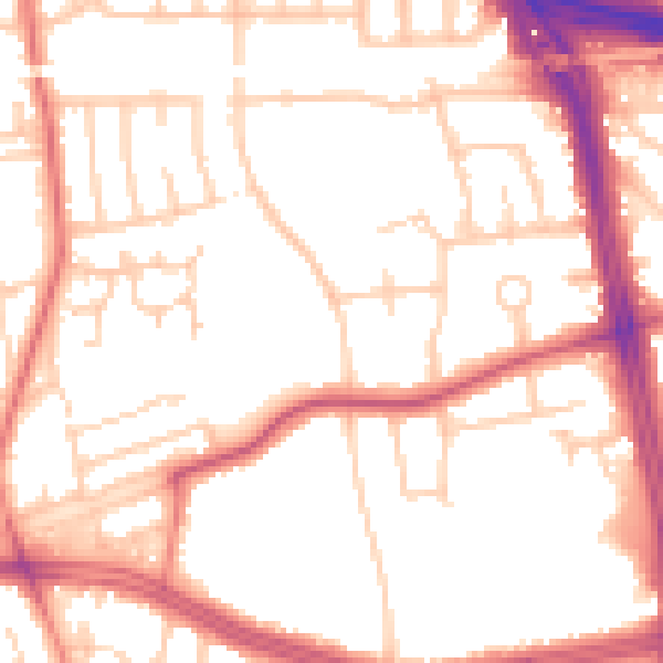
Daytime· 07:00 – 23:00
52.7dB

Night-time· 23:00 – 07:00
43.2dB