19 Southway, Liverpool, L15 7JA
About 19 Southway
19 Southway is a mid-terrace house in Liverpool (L15 7JA). It has a recorded floor area of 130 m² (around 1399 sq ft), construction records dating it to 1900-1929 and council tax band C. The latest certificate (September 2017) shows a D (score 55), a step below the typical UK home. The recommended improvements would push it to C (score 76).
One planning record on file: new windows approved in 2017. Past consents include new windows, meaningful when judging how the property has evolved. At 130 m² it's 18.2% larger than the typical home in the postcode (110 m² median across 17 EPCs). Across 2018–2023, sale prices on this property compounded at 120.5% per year. On a £-per-square-foot basis, the last sale (£272/sq ft) was about 30.3% above the typical sold price in the postcode. Most recent transfer: August 2023 at £380,000.
Know exactly what you're buying at 19 Southway
Before you offer, see what the listing won't tell you, the true value, the red flags and the full history.
Valuation
against the asking price
Risks
planning & flood
Sold prices
similar homes nearby
Trends
the local market
Energy performance
EPC Rating
Planning history
- May 2017RenovationFullIn report
To replace original wooden windows with double-glazed upvc (residence 9) units, and install new double-glazed composite front door
New Windows- Documents
- 16 docs on file
- Reference
- 17H/0493
What's in 19 Southway, Liverpool, L15 7JA's planning history?
Refusals, disputes and full decisions on this property and nearby, in the report.
Sales history & valuation
19 Southway has more than quadrupled in price since its earliest registered sale in 2018.
£412,000
Modelled from EPC, postcode comparables and a sale-price growth of 120.5% per year over 5 years.
£380,000
Growth on file: 120.5% per year over 5 years.
Sales timeline
3 August 2023Most recent
£380,000
+26.7%over 3 years13 June 2020
£300,000
+4846.4%over 2 years10 May 2018
£6,065
Median price across the last 5 sales in L15 7JA: £312,000 (2024–2023).
Everything we know about 19 Southway, in one report
What it's really worth, what could be wrong, and the planning, sales and area data in full.
- Am I paying too much?
- Is something wrong with it?
- Is the agent's story true?
- Will it hold its value?

Versus other Southway homes
Habitable Rooms for 19 Southway runs comfortably ahead of the street norm.
Price per m²
£2,923
Street avg £2,599
Floor Area
130 m²
Street avg 109 m²
Habitable Rooms
7 rooms
Street avg 5 rooms
CO₂ Emissions
5.9 t/year
Street avg 6.6 t/year
Similar properties nearby
The neighbourhood at a glance
Reported crime in the wider district is trending notably upward year-on-year.
Crime
6/mo
Rising year-on-year across the wider district.
Nearest stop
0.1 km
South Way — bus stop.
Closest school
0.4 km
King's Northway Primary Academy. 54 schools nearby.
Go deeper on the local area
The full report breaks down crime, transport links, schools and air quality in depth.
Road noise across the postcode
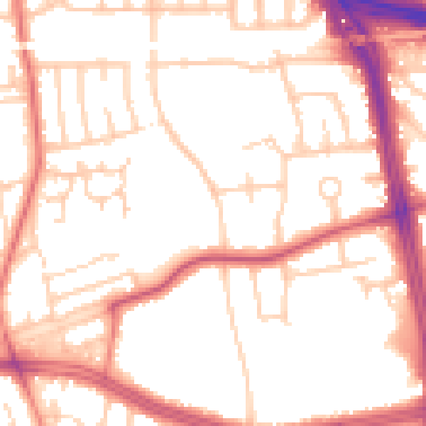
Daytime· 07:00 – 23:00
52.7dB

Night-time· 23:00 – 07:00
43.2dB