11 Olton Street, Liverpool, L15 4NE
About 11 Olton Street
11 Olton Street is a two-bedroom mid-terrace house in Liverpool (L15 4NE). It has a recorded floor area of 58 m² (around 624 sq ft), construction records dating it to 1900-1929 and council tax band A. Tenure is freehold. The latest certificate (May 2023) shows a D (score 66), on the cusp of jumping into the C band. The recommended improvements would lift it to B (score 88), a 2-band jump.
Across 2001–2023, sale prices on this property compounded at 5.5% per year. Today's modelled estimate of £115,000 is 27.8% above the 2023 sale price. On a £-per-square-foot basis, the last sale (£144/sq ft) was about 36.4% above the typical sold price in the postcode. Last sale on file: £90,000 in December 2023.
Know exactly what you're buying at 11 Olton Street
Before you offer, see what the listing won't tell you, the true value, the red flags and the full history.
Already flagged here
Valuation
against the asking price
Risks
planning & flood
Sold prices
similar homes nearby
Trends
the local market
What this property has
Inside
- Bedrooms2
- Bathrooms1
- CloakroomYes
Building
- TenureFreehold
Energy performance
Recommended upgrades on file would lift this property by multiple EPC bands.
EPC Rating
Planning history
11 Olton Street has no planning applications on record.
Notable planning nearby
9applications of note in the surrounding area
We flagged 1 thing worth checking at 11 Olton Street
Independent checks surfaced things a buyer would want to understand before offering. The report explains each one in full, with the underlying data and what to ask.
- Signs of HMO activity in the area
30-day money-back guarantee
Sales history & valuation
Sale price has grown by over 3x since 2001.
£115,000
Modelled from EPC, postcode comparables and a sale-price growth of 5.5% per year over 22 years.
£90,000
Growth on file: 5.5% per year over 22 years.
Sales timeline
7 December 2023Most recent
£90,000
+9.1%over 18 years1 September 2005
£82,500
+202.8%over 4 years30 July 2001
£27,250
Median price across the last 5 sales in L15 4NE: £85,000 (2025–2023).
Everything we know about 11 Olton Street, in one report
What it's really worth, what could be wrong, and the planning, sales and area data in full.
What we flagged
- Signs of HMO activity in the area

Versus other Olton Street homes
On years held, 11 Olton Street runs well behind the street norm.
Price per m²
£1,552
Street avg £1,439
Floor Area
58 m²
Street avg 57 m²
Habitable Rooms
3 rooms
Street avg 3 rooms
CO₂ Emissions
2.6 t/year
Street avg 2.8 t/year
Similar properties nearby
1 Colville Street
L15 4JX
1 Olton Street
L15 4NE
1 Somerton Street
L15 4NF
1 The Priory, Sandown Road, Wavertree
L15 4JD
1 Rushbury Court
L15 4HY
1 Standale Road
L15 4HL
1 Sunningdale Road
L15 4HJ
1 Glynn Street
L15 4LT
The neighbourhood at a glance
Rail-style transport is unusually close for this postcode.
Crime
6/mo
Rising year-on-year across the wider district.
Nearest stop
0.2 km
Wavertree Station — bus stop.
Closest school
0.1 km
Heygreen Primary School. 57 schools nearby.
Go deeper on the local area
The full report breaks down crime, transport links, schools and air quality in depth.
Road noise across the postcode
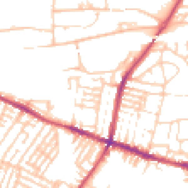
Daytime· 07:00 – 23:00
51.7dB

Night-time· 23:00 – 07:00
40.8dB